Thursday, June 23, 2011

Nov 19-20, 2010, Farmdale Recreation Area, from Illinois River Valley Orienteering Club (IRVOC)

Farmdale Recreation Area is near Peoria, IL on the east side of the Illinois River.  This event served as several first time for me.  This was my first time to do orienteering at the same place for two days.  This was also my first time to do a night-O and a special “orienteering”, which turned out to be something that tested my pace counting.  This was also my first to see people doing bike-O.

1.      Day 1: night-score-O

It was a chilly Friday night.  There was no snow on the ground, but the temperature was below freezing.  Before the event, the club advised us to use headlamp for illumination, but I did not have one, so I brought a flashlight to go for night-O.


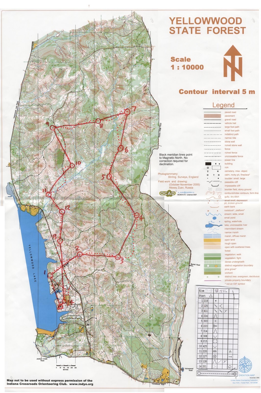
The night-score-O map was as follows.  The time limit was two hours.  All the controls were 1 point except 1, 2, 4, and 8, which had 2 points.


Notice that my route was terrible, so here was the story.  The summary was: I lost the flashlight at the very beginning of the race.

My original plan was to find controls in the clockwise direction.  My aim was to grab control 2 and then 1.  After control 1, depending on time, I would select some of the controls on the south to grab before going back to the start/finish point.

Therefore, I started from control 14 first, since the navigation looked easier.  I had not done a night-O, so I had a concern whether I could see the controls at all by the flashlight.  On the way to control 14, I had to cross a river that inevitably made my feet wet.  Control 14 did take me some time to find, since it was inside the forest, but I finally found it, with a price…

The batteries in the flashlight suddenly fell off, which turned off the light.  I searched the batteries inside the forest for a while, but with no success.  The flashlight also had to be thrown away in the end because the lid that held the batteries fell off.

This was really bad and sad.  Now I knew why flashlight was not a good option for night-O.  I thought whether I should go back to the start and end the course, or I should move on without the light.  In the end, I chose to move on because it was a full moon light, and I felt I could find some of the controls under moonlight, since there were several open areas in the map that had controls.`

Starting my moonlight orienteering trip, I went for control 11 by using the paths in the open area.
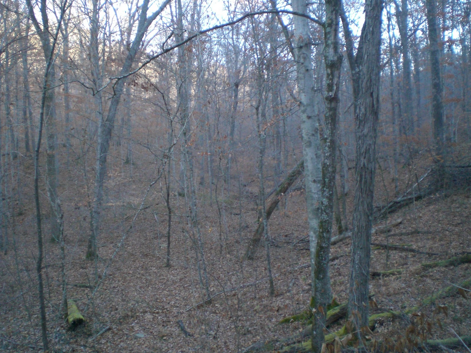
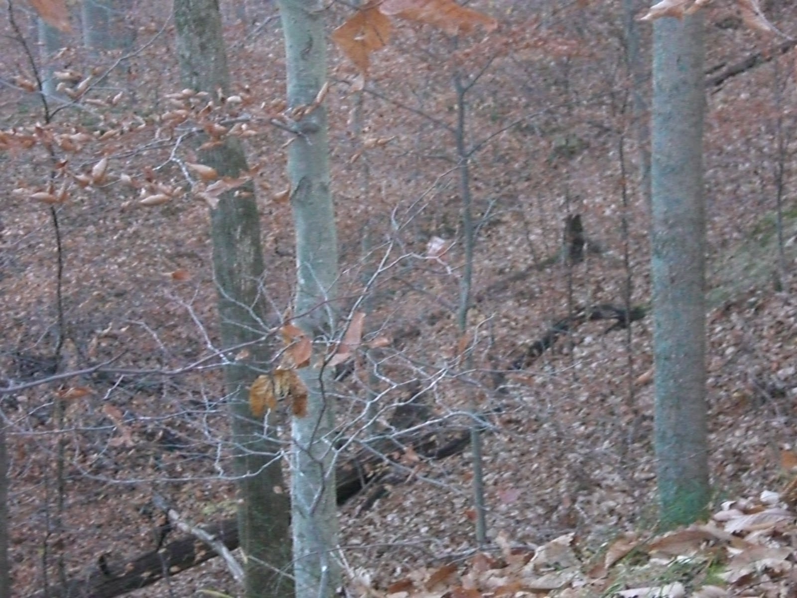
The control was at the cliff by the river.

Control 11 location (in day time)
Then I made use of the path in the open land again to get to control 10.  I tried to look into the forest for a re-entrant.  Fortunately, I identified to correct one.

I went uphill to another open area and went for control 9.  After control 9, I saw some fellow orienteering people running in the opposite direction.  He asked me if I was okay or not, and I said I was okay.  I felt my mission to be challenging.  If in emergency, I still had a whistle.  Wow!  I was so adventurous.

I went for control 5 using the open area path again.  Then, I started going inside the forest, feeling that I had already got accustomed to the dark, so I went to control 7 using the re-entrant system.  Then, I proceeded my way to control 2.  Here I started to feel the effect of inadequate light.  I found difficult to read the location of the controls under dark forest.  Eventually I located the power line that ran north-south.  Then I used to path to try to get close to control 2.  However, the forest was too dark that I could not read the map well.  Therefore, I did not find the control in the end.  By that time, an hour was passed and I had only another hour left.  If I could do that leg again, I would use the river to guide me to the control, paying attention to the river that bends from east to northeast.  The river was not a small one, and the river area was quite open without trees.

Being discouraged, I forfeited the valuable control 2 and 1, and headed to control 3, which I could reach by following the path system and locating the path bend.  Then, I walked uphill and would like to reach the open land again.  I used the path to get close to control 5.  I got into forest and followed the re-entrant to find control 5.

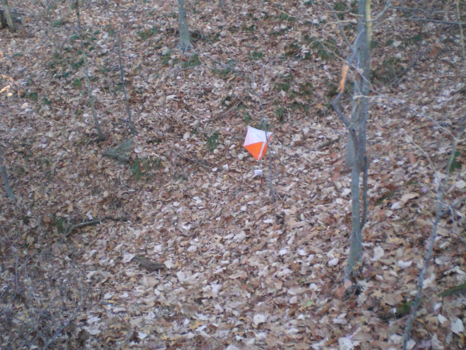
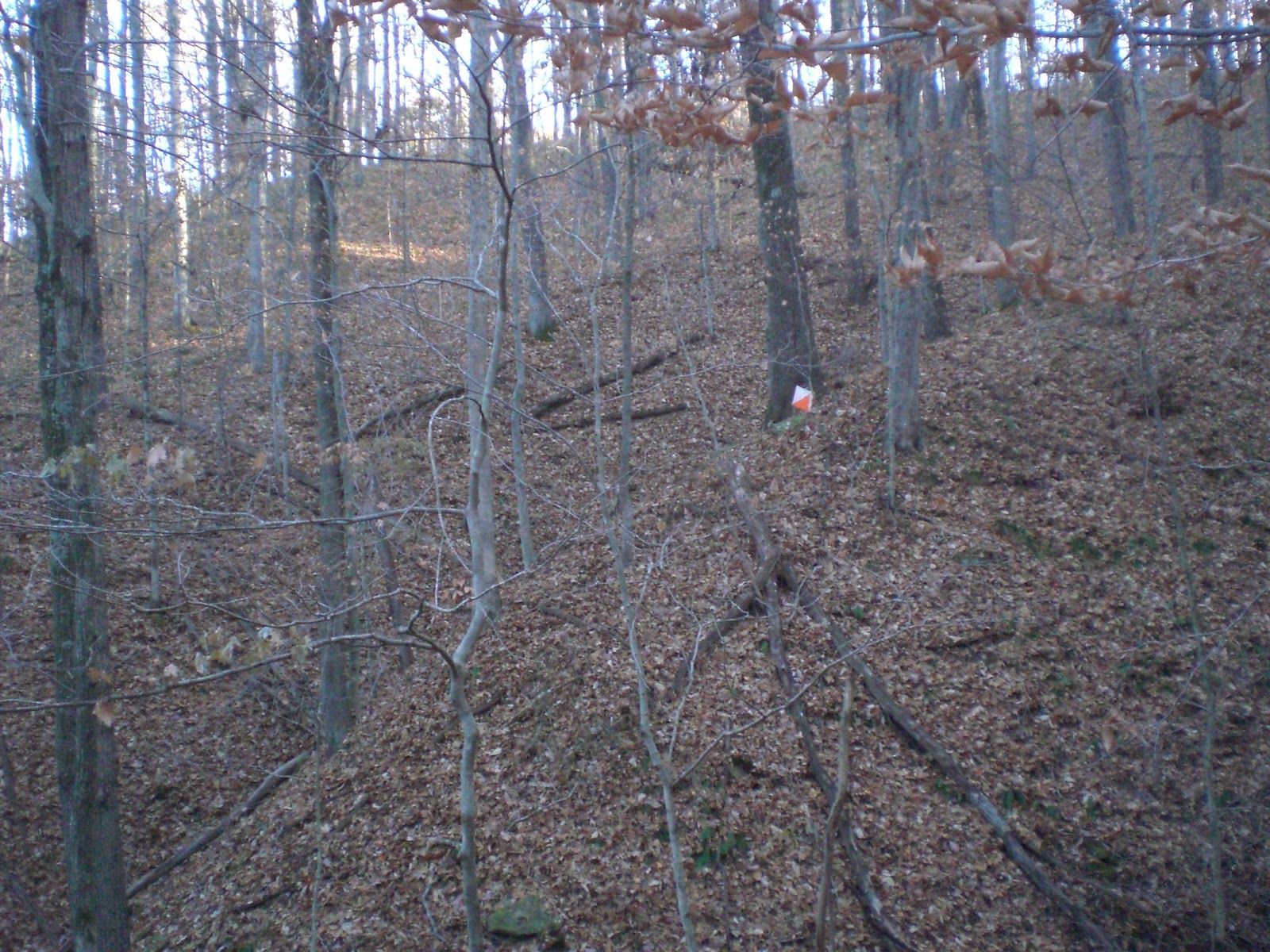
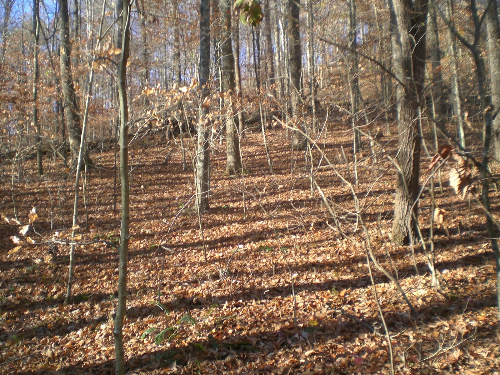
Then I decided to forget about the controls in the south, which were mostly in the woods.  My remaining controls to reach were 12, 17, and then 19.  For control 12, I used to path in the open area again for moonlight.  In control 17, I walked down the hill to meet the path, and used to path to reach control 17.  It took me some time to find control 17 because it was within the woods, but it turned out to be not as difficult because I had to find a structure, and the structure turned out to be a huge one.  Then, I went for control 19 because I saw open land.

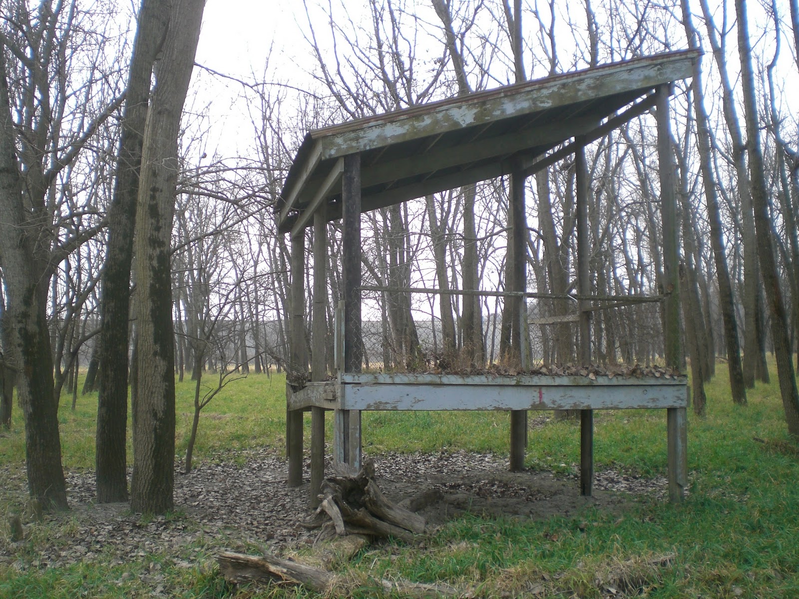
Control 17 location (in daytime)

On the southwest of control 19 was a dam.  By that time I suddenly saw control 20.  I did not see the control on the map until now.  Seeing that I still had about 10 minutes left, I went for this control.  I had to go up the dam and then go down, though.  I used the road to guide me back to the start, and I did not get late!
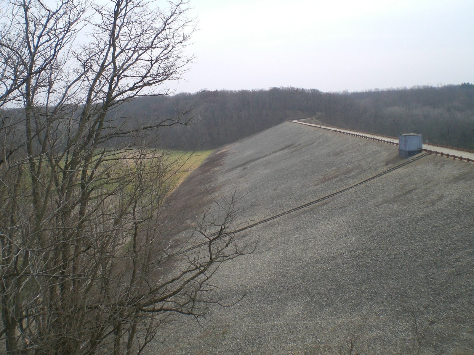
The dam in day time

When I went back to the start/finish line and used the light there to read the map again, I saw control 4 in the green area, which was south and not far away from control 5.  I did not see this control on the map until by that time.  I thought if I saw control 4 on the map, I might consider finding it, since it had 2 points.

In summary, this was an unique night-O experience and I was amazed that I could still find some controls without the flashlight.  After this event, I bought a headlight from Wal-mart for about $15.  This would be used in the future night outdoor events.  As it turned out, I used this to find geocaches in the dark, too.

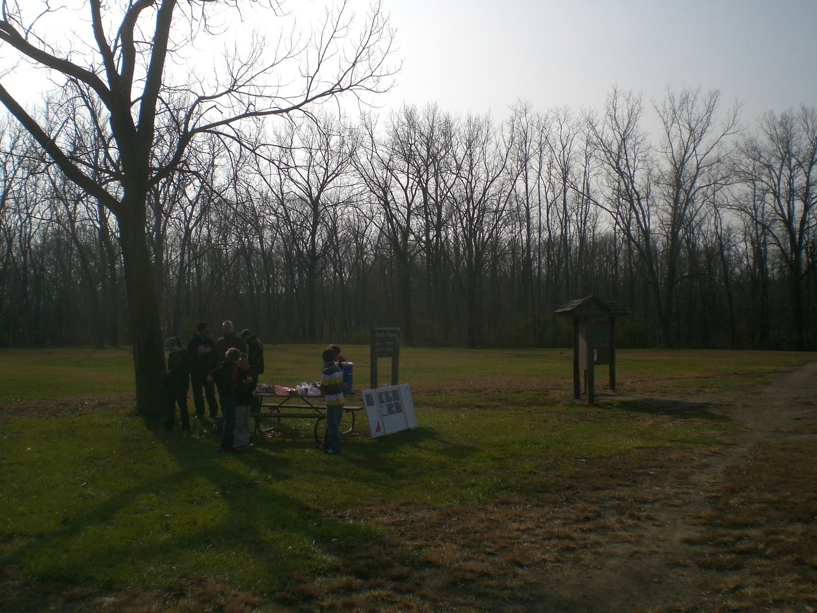
That evening, I would really like to thank those people who organized this event allowed me to stay at their place overnight in Peoria so that we could do orienteering in the next day without driving back and forth.  I got great air bed, comforter, and pillow to sleep and some croissant and orange juice for the breakfast next day.

2.      Day 2: mystery-O

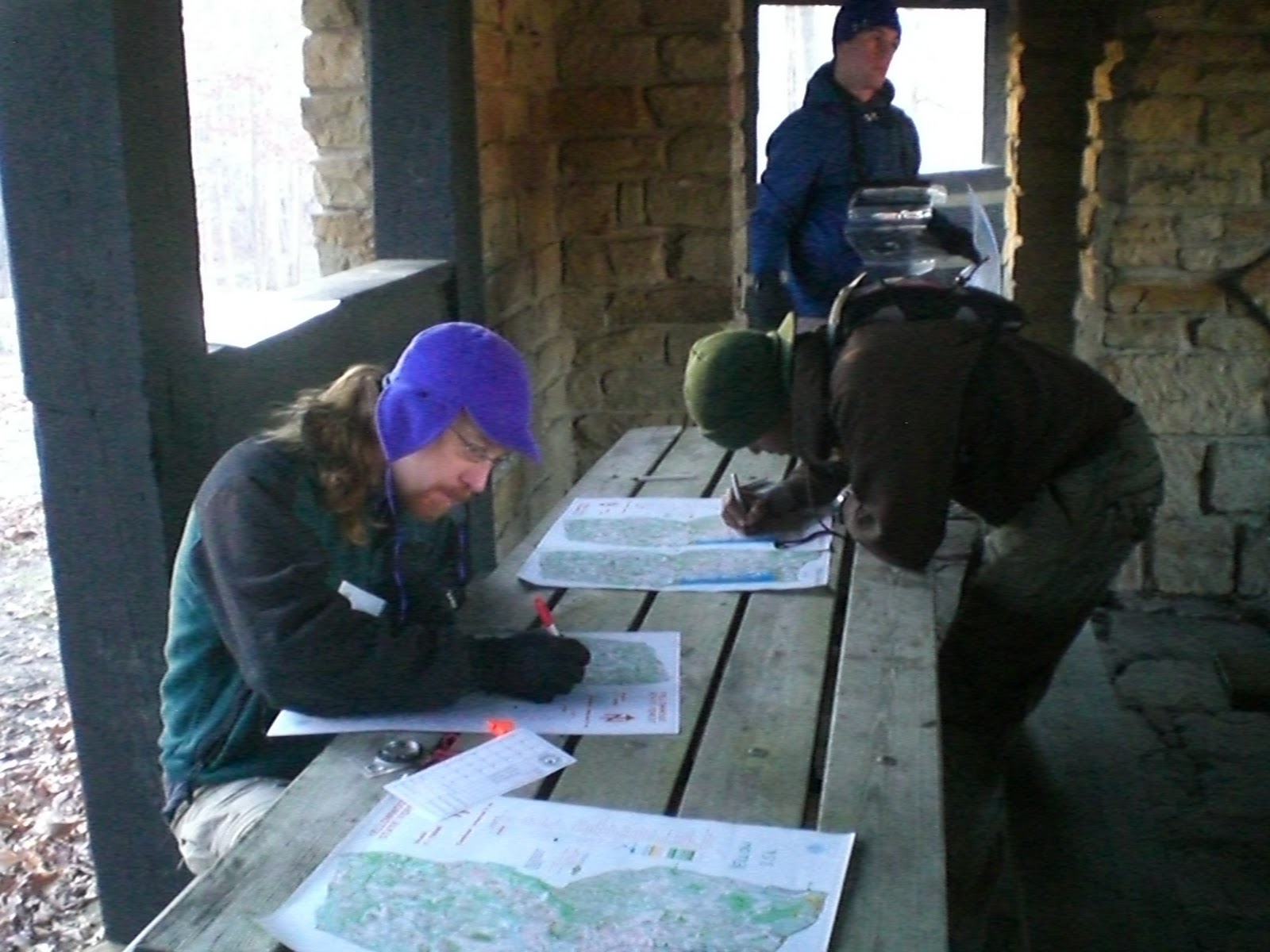
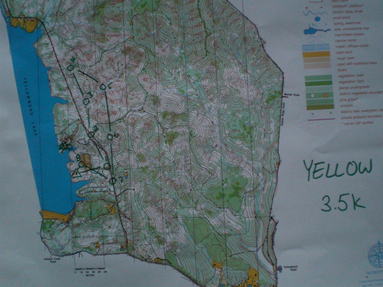
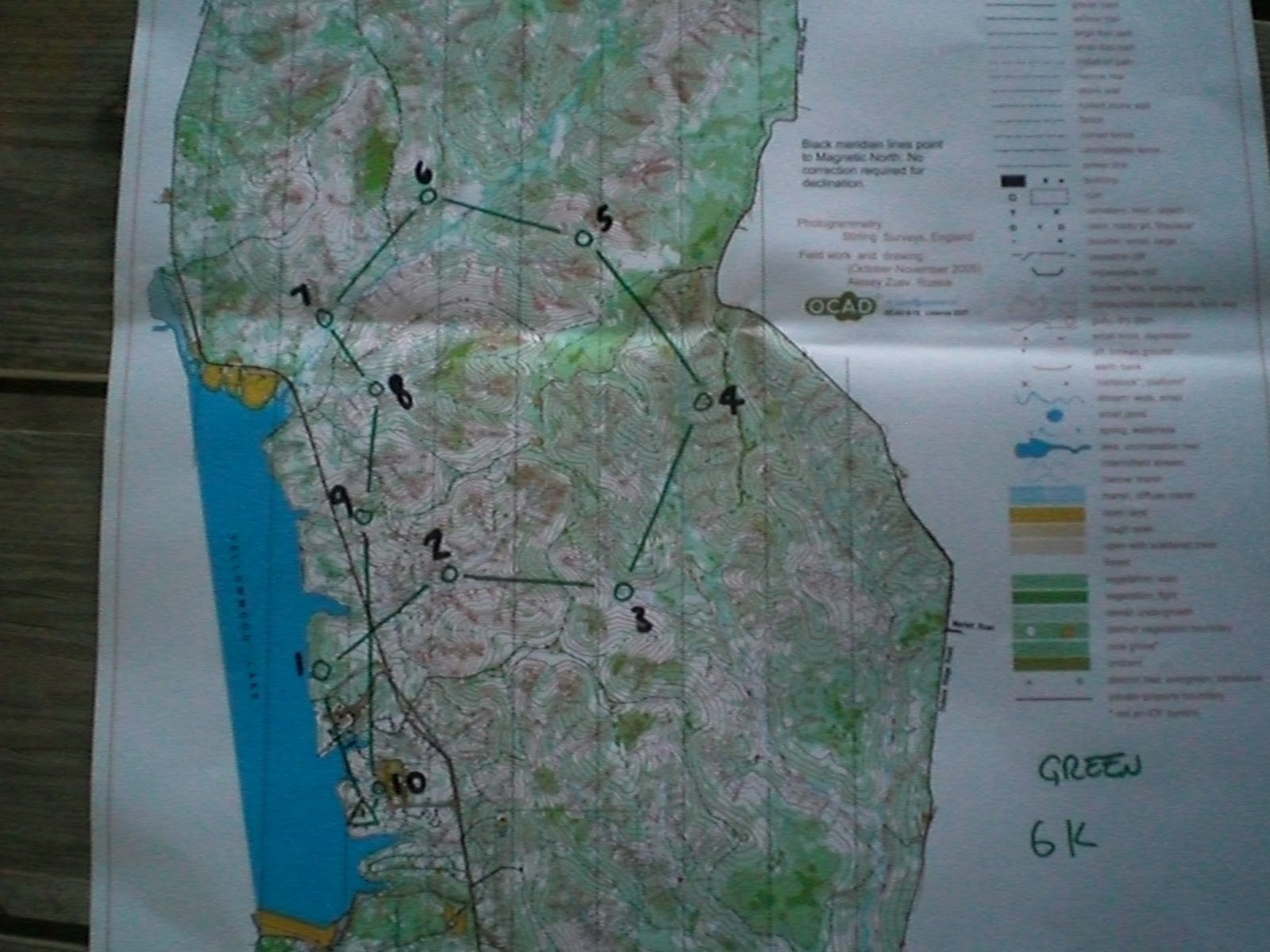
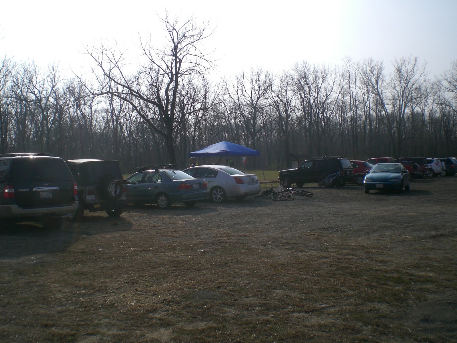
There were actually several events on the same day.  People could do traditional foot-O, although there were only white (beginner), yellow (advanced beginner), and orange (intermediate) courses.  Some people brought mountain bikes, for there were two sets of MTBO (Mountain Trek Bike Orienteering) available.  This one actually looked interesting, since I had not seen such events before.


For me who did not have a mountain bike, I chose another choice of foot-O called the mystery-O.  I did not know the format of it until that day.  The rule was that instead of giving a map, I only got the bearing and distance to each control.  I still got a clue sheet that had control number and feature description, but no map was given.  I guessed orienteering purist would not consider this as orienteering because there was no map involved.  Still, I liked this course because I learned my distance of pace since this event (e.g. 1 step = ~1 m for me).  I learned pace counting after this course.  However, I could not use my thumb compass because that was no marking of angles at all.

The clue sheet and distance/bearing descriptions were shown below:

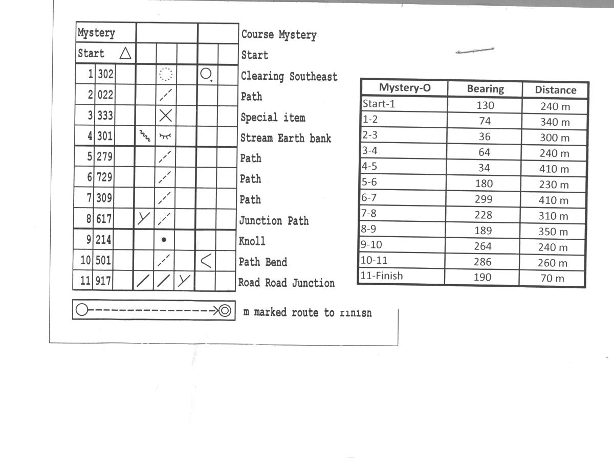
Since I did not know my pace in the beginning, the greatest trouble was in control 1.  I went way far away then the clue was stated.  I felt like I found control 1 just by luck.  Therefore, I estimated my approximate distance of a step and used the estimate to guess how many steps I had to use for going to control 2.  I thought one step = 0.5 m.  Then I found I stepped about half of my estimate to reach a marker.  Therefore, I knew one step = 1 m, and used this for the rest of the course, since using this pace rate did estimate the control location quite accurately.  Then, I had no trouble in finding the rest of the controls.

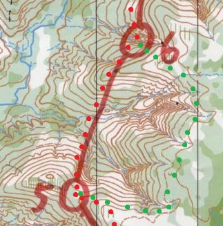
Below shows the locations of the controls that I thought in the mystery-O, as well as the route that I thought I took.


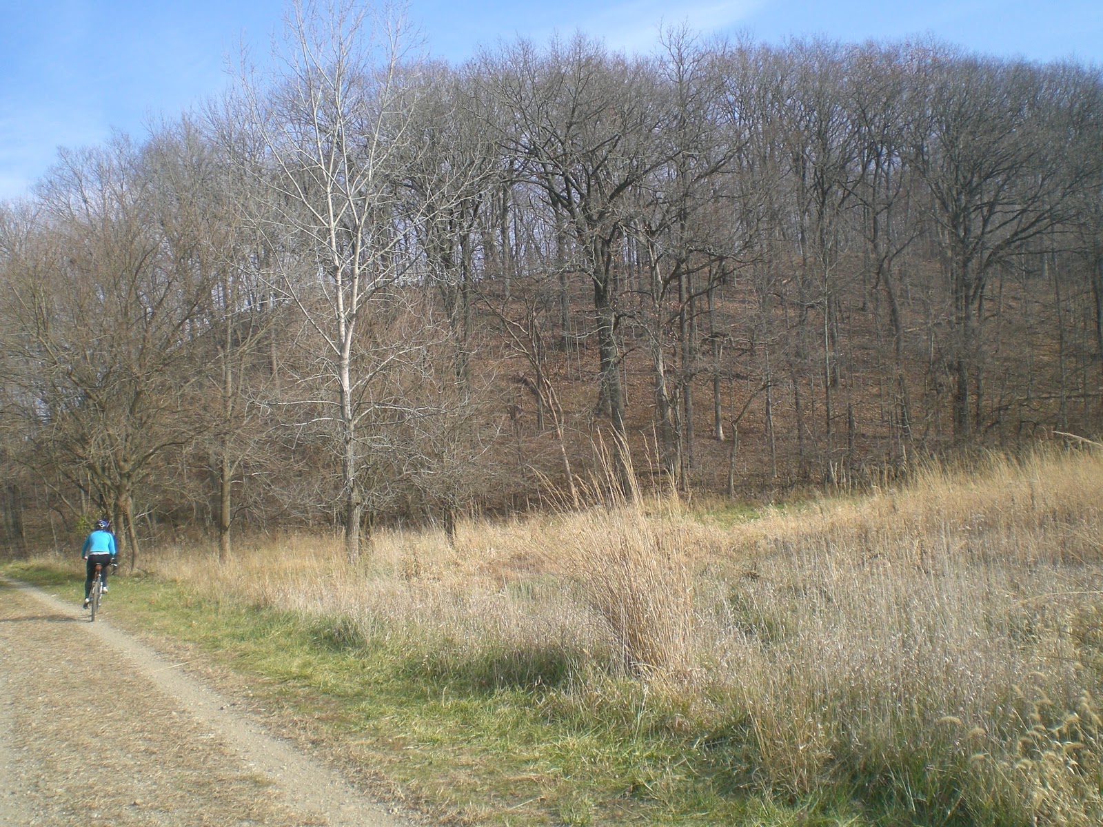
While running the mystery-O, I saw some bikers doing a MTBO course, so I took some pictures too.  This picture was taken near control 3.


As well as some control locations (control 6):


3.      Day 2: Geocaching

I did geocaching right after finishing the orienteering course, as usual.  There were only two caches that were within the map area, but one of them was a mystery cache that had a 5-star difficulty rating.  The other one was a typical ammo box cache, but the cache was close to night-O control 4.  Therefore, both of the caches took me a lot of walking.  In fact, I walked for geocaches farther than running for orienteering.

I needed to do some homework before finding the mystery cache, but the clue from homework only took me to the first stage of the cache, which was near control 18. There, I found a cache that had a piece of paper showing 4 sets of GPS coordinates.  One of them was exactly at control 17.  Another one was near control 4, which means I could also find the other cache along the way.  One of them was uphill of control 3.  The last one was about 250 m north of control 1.  Each location did have something to tell you that you were at the right location.  One of them had a further clue in the small bottle, while two of the others had a plate fixed on something and one of them was craved on a rock.  The further clues on each of the points were not the next coordinates, but in various form of clues.  For example, one said +xxx to north – xxx to south, while the other one had a description that seemed to guide a person to another place.  In the beginning, I thought I just needed to collect all the clues together to find out where the final location was.  However, it appeared to me that the clue in each of the 4 places directed to another location for each place.  Since this cache took me too much walking, I stopped solving the mystery here.

The map below shows the approximate locations of the mega-mystery cache in each stage and the other traditional cache.

Nov 14, 2010, Swallow Cliff, from Chicago Area Orienteering Club (CAOC)

This was my second time to do an orienteering course on this map.  As far as I knew, this was the only orienteering map in Chicago area that had steep hills.  Chicago is a flat land, so having steep hills in this place is quite special.

When I came here first time, I did a green course and turned out to be the first place finish.  Now I came back and did a red course, and I did not do badly, either.  I got the shortest time of all the red courses that I had done.  My current goal was to finish a red course within 1 hour 30 minutes, and this was the first time I achieved it.

I arrived late and the parking at the start/finish point (Cherry Hill Woods) was full.  Unfortunately, I had to drive 1 km north to park at Teason’s Wood and followed the markers to walk back south.  Therefore, I got some warm-up before I started the course.


Finally, I arrived at the event center.


After I got the map, I felt that I had time to find some geocaches nearby before starting the course.  I had many caches to find in the nearby area, so I thought I should find a few before starting the orienteering course.  Seeing that the approximate locations of the geocaches would not spoil the course, and I had some time before the start closed, I finally found 3 caches near the start points.

Red crosses indicate the location of the geocaches

After finishing the orienteering course, I found some other caches.  However, they were outside of this map so I would not mention here.

Now get back to the main course: the red orienteering course.  The map, my route, and my split times were shown below.


I wondered what made me do well in this place for two times.  My guess was that this map is relatively easy to navigate, since there were many handrails on the map (e.g. paths, streams).  The re-entrants were also mostly clear.

I would separate the course into several sections and pick several controls to talk about in order to keep the blog short.

Control start-5: There is nothing much to say about the first 5 control points.  At the beginning open land, some burning had happened that made the area look black (see picture below).  I travelled through the forest to find the lake. After meeting the main path, I used the indistinct stream as a path to get to the open area.  The next few points had clear paths to lead me to or close to the controls.   I made a mistake in control 4 and identified the wrong re-entrant.  The purpose of control 5 and 13 was to force us to use the underpass, since the road above is a major roadway.


Control 5-7:   Control 6 and 7 were also easy.  The re-entrant to control 6 was clear.  In control 7, I used the major trails most of the time to get to the control.  I just needed to be careful in counting the bends on the trail.  Perhaps an alternative route was to go more south to the road and use the road to lead to control 7, but you had to go downhill and then uphill.  Running through the forest seemed not to be a good idea because the forest was not easy running and there was a re-entrant to climb.

Control 7-10:  I felt the most challenging decision was control 7-8.  I was not sure if there were any better routes.  I used to road and then the major trail north of control 8.  Then, I needed to know where to bend south from the road to the control.  It appeared to me that using other trails to get to control 8 was too dangerous.  In fact, I felt that this section was one of the more challenging sections of the course.  I was also not sure how to professionals would run from control 9-10.

Control 10-13:  The river might get my feet wet in this section of legs, but the navigation by re-entrant, river, and paths was not a problem.  I also wondered: are there any better routes than my choice?

Control 13-finish: This was another section of the legs that I could consider challenging.  It was at the end of the race.  From control 13-14, one had the climb the hill.  Then, the rest of the controls were quite short and in a re-entrant system.  The section seemed to test my concentration when I started to feel tired.  In control 14-15, I tried to run as straight as possible (i.e. not following the path), but avoided the drops at the re-entrants.  In control 15-16, I had to get across the main re-entrant.  In control 16-17, I used to path to get close to control 17.

Therefore, Perhaps I could finish to course under 1 hour 30 minutes because the course was relative easy.

When I came back, I met Rich Gaylord again.  He gave me an orienteering map in Danville, IL (about 30 minutes drive east of where I am) that he ran in 1970s.  It was nice to see how the map changed after many years.  Therefore, I had a reason to continue to run orienteering courses in Chicago, since I had to return the map to Rich.

Nov 13, 2010, A sprint – Northtrail Park, from Illinois River Valley Orienteering Club (IRVOC)

The event

Probably I attended this event because I loved orienteering so much.  The drive was almost two hours, but a sprint orienteering course can be finished within 15 minutes, so attending this event was uneconomical.  Moreover, I had another regular orienteering event to attend in the following day in Chicago.  The major reason for attending this event was actually because I had not done a sprint course before, so I would like to give a try.


The map of the course is shown below.  Note that this was a new map and was used for the first time.  The course was also very easy and had a yellow rating, so this course was about who made the decision fastest and ran fastest.


Moreover, I took a panoramic video to show how close the controls were next to each other.


The entire course took me about 11 minutes to complete.

Nov 6, 2010, Yellowwood State Forest, from Indiana Crossroads Orienteering (ICO)

1.       The event

I remembered that I had high expectation on this event. This place is about 40 miles south of Indianapolis, IN and near Bloomington, IN.  The area is hilly, which is very different than the generally flat terrain in Chicago area.  Still, the forest is generally easy running (i.e. white forest in the orienteering map).  Moreover, a blue course is expected to be seen in this event.  In the US, a blue course is the advanced course with the longest length (i.e. > 8 km).  I am willing to enjoy running in the hilly forest for longer time.

Therefore, I attended this event.  It was a day that was well below freezing.

Map showing the location of Yellowwood State Forest.  It is close to Bloomington, IN, where Indiana University is located.


I took a lot of pictures in this event.  Therefore, I would rather put more pictures than words in this entry.

Event Center:


Beginner clinic – for those who are doing orienteering for their first time


 In ICO events, we usually have to copy the course from a mother map


I took some pictures of the other courses.  For the beginners, try reading the White and Yellow course and think about how you would tackle it.

White – the easiest


Yellow – for the advanced beginner


Orange – for the intermediate orienteers


Green – advanced, shorter (6 km is a reasonable green course)


Note that the map is huge.  The map had a size of almost four A4 papers. Last year, a 6 hour/12 hour rogaine has been organized in this area.

Now, the featured blue course that claimed to be 8.5 km long (and my route):


This course was the same as the green course, but controls 6-9 were added.  After drawing the map, I somehow felt that the course was shorter than 8.5 km…

As we drew the map, someone helped to start a fire.  Warm…


This is the first time to see ICO to test a e-punch system.  The orienteering events by ICO usually used traditional punches to verify visits of controls.  ICO only had a few of these e-punch system, so I arrived the event center early to ensure I could test the system.  It turned out that this e-punch was the largest I had ever seen.


Computer system


Start and finish punch


So I had finished drawing the course on the map and I could start at any time!


The location of the control 1 looked like the picture below


A picture on how the control looks like.  There was a metal piece attached to the traditional punch, which is for the e-punch purpose.


On my way to the second control.


And the control.


On control 3, I had to go uphill.  I did not see any better route other than going up and then going down.  Control 3 looked like this.


I followed the stream to guide me to the control 4.  Now I could think how I could be sure which re-entrant contained control 4.


I also needed to go uphill in control 5.  Once I got to the other side of the hill, the ridge became easy to find.

Control 6 posed a classical question: should I take shorter route but have a lot of hill climbing, or a longer route but with much less hill climbing?  (see the picture below) This was a question that I was not able to answer in the past.  Like this one, I did take the shorter but more strenuous route.  When I compared my result with the others who took the longer route, the longer route is faster.


Here is a picture of control 6.


By that time I did not know how strenuous is to gain a contour line (i.e. going uphill).  Now I felt that I should not go uphill and then downhill for control 7.

A picture of control 7.


Control 8 was another one that going uphill was unavoidable.  I tried to take a picture that showed the steepness of the hill:


And the control 8:


Since then, I did not take any more pictures along the course, since I almost lost my camera after control 8.  I found out that my camera disappeared, so I backtracked to see if I could find the camera.  The effort was not successful.  Then another orienteering person passed through the control 8 and said he found a camera nearby, and that was indeed my camera.  I felt so lucky that I got my camera back.

Control 9 was actually another tradeoff question that was similar to control 6.  Someone took a much longer route to northwest and followed the route back to southwest (see picture below).  I did not ask for his time on this control, so I could not have any comparison.  Nevertheless, now I think such route choice could be a valid one.


Somehow I felt that I did not have much to say for the rest of the controls.  They looked easy to navigate using the shortest route.  I felt kind of anti-climatic after finding these controls.

I did take a picture when I ran along the road from control 13 to 14.


One more thing was that I was excited to see the new e-punch system before the event.  However, along the course, many metal pieces at the punches were missing, so I could not use the e-punch in many controls.

Therefore, my high expectation became some disappointment because 1) the course was actually not 8.5 km long.  I went home and used a ruler to measure the course length, and it was about 7.5 km.  This explained why I felt I only ran a orienteering course like a red course in Chicago.  2)  Controls in the later part of the course can be more challenging.  3) I could not enjoy the use of the new e-punch system because many punches were missing (I hope they will keep improving the e-punch system, though).  The cold weather, however, did not affect my mood in doing orienteering.

2.      Geocaching

Before leaving, I searched 4 geocaches near the start/finish line.  The locations of these geocaches are marked on the map below.  Supposedly, one may do geocaching without a map, since GPS is the only essential tool.  A map, however, helped me to travel around the wood faster.  Marking the locations of these geocaches also encourages me to be aware of my location all the time, so that I can mark them at the right location.


One of the caches was almost next to the start/finish line.  I also took some pictures of some caches.  These caches were just typical finds.