It was nice to come back to Ann Arbor again. I do not have many people to visit, as most of my undergrad friends were already gone for good. Therefore, if I come back to Ann Arbor, there has to be some other reasons.
This time, it is orienteering.
The reason that attracts me to come is that there is an orienteering map in UMich campus! I heard that someone in UMich was thinking of having a student club there. Seeing that we had a new orienteering club in UIUC and we had the resources to plan a trip, we set a long weekend event to Ann Arbor.
Later on, it turned out that we cannot run on the campus map (i.e. Nichols Arboretum) because the event was set on Friday and people still had classes. Before coming to Ann Arbor, I asked South Michigan Orienteering Club (SMOC) to see if they can leave the map of the Arb for us. Moreover, I helped Jan (the Czech guy who wants to do some orienteering exchange) to ask if we could get an extra training. SMOC was very helpful. Jens from SMOC helped us to set a streamer course at Peach Mountain, so that we could run it on Sunday. In addition, we would have the map of the Arb. There was also an official SMOC event on Saturday at Park Lyndon South. Therefore, it was nice that we could do three orienteering courses in this Michigan Trip.
I will describe each picture below to give you a feeling of this weekend.
Nov 2: Park Lyndon South

Map of Park Lyndon South. It is a red course that is ~5 km long. It was good that I did not feel totally lost, but small mistakes were here and there. However, I am still slow. This course seems to tell me that I need confidence in navigation to allow me to run more.

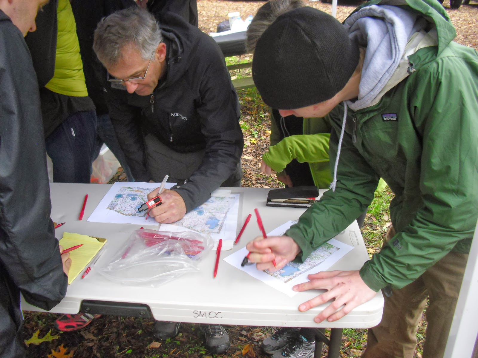
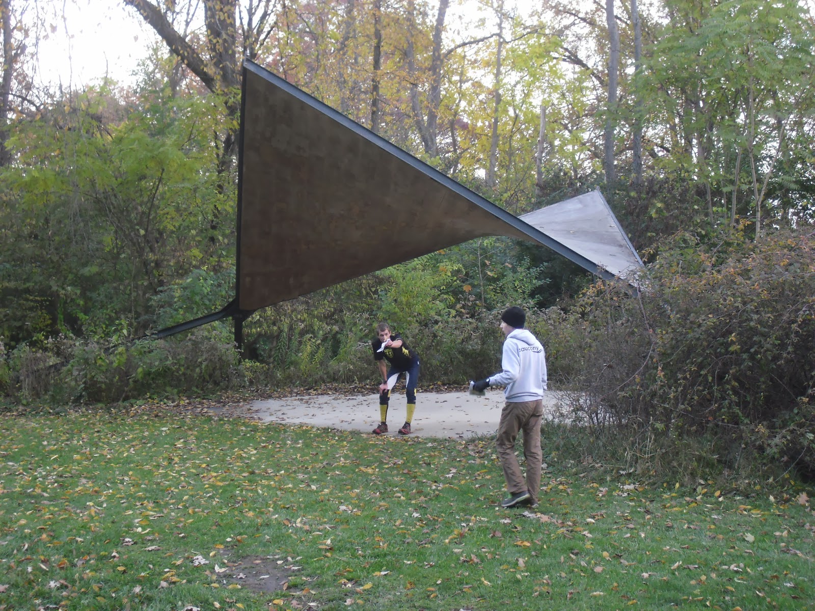
Sign up for the event.

Finish punch on a table.

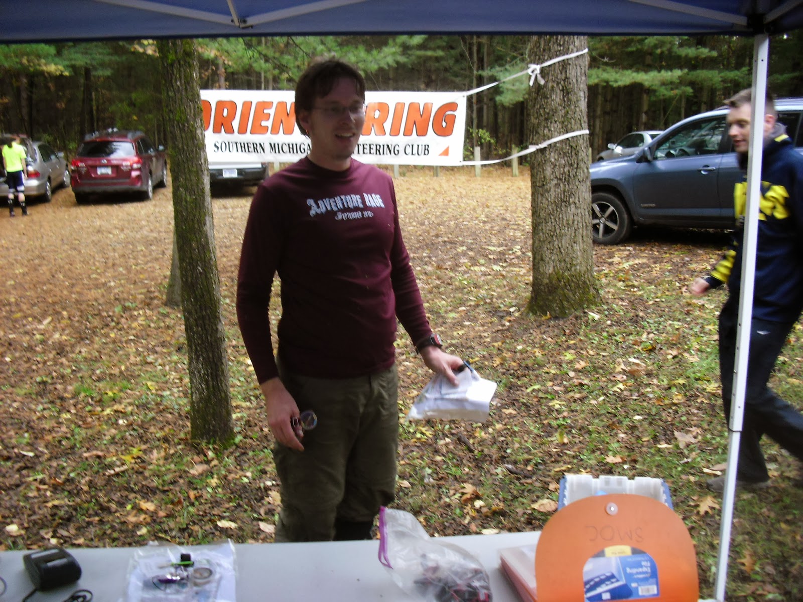
After running the course, I found out how slow I was. Alex and Jan already came back and talked to the event director, Joseph. He helped with the Arb and Park Lyndon map and organized both days of the events.

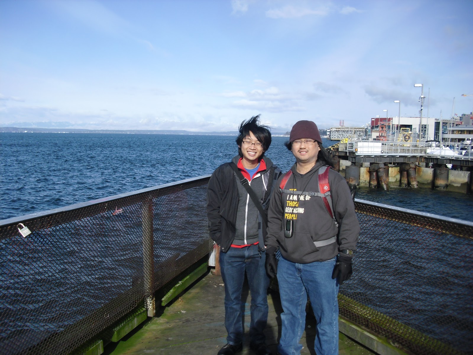
Group picture of our small club.

The left person is the fastest woman orienteer in the US. Her name is Alison Crocker.
This is Jens, who helped to set the streamer course at Peach Mountain only for us. Thanks a lot! He runs fast also!
Visiting Ann Arbor

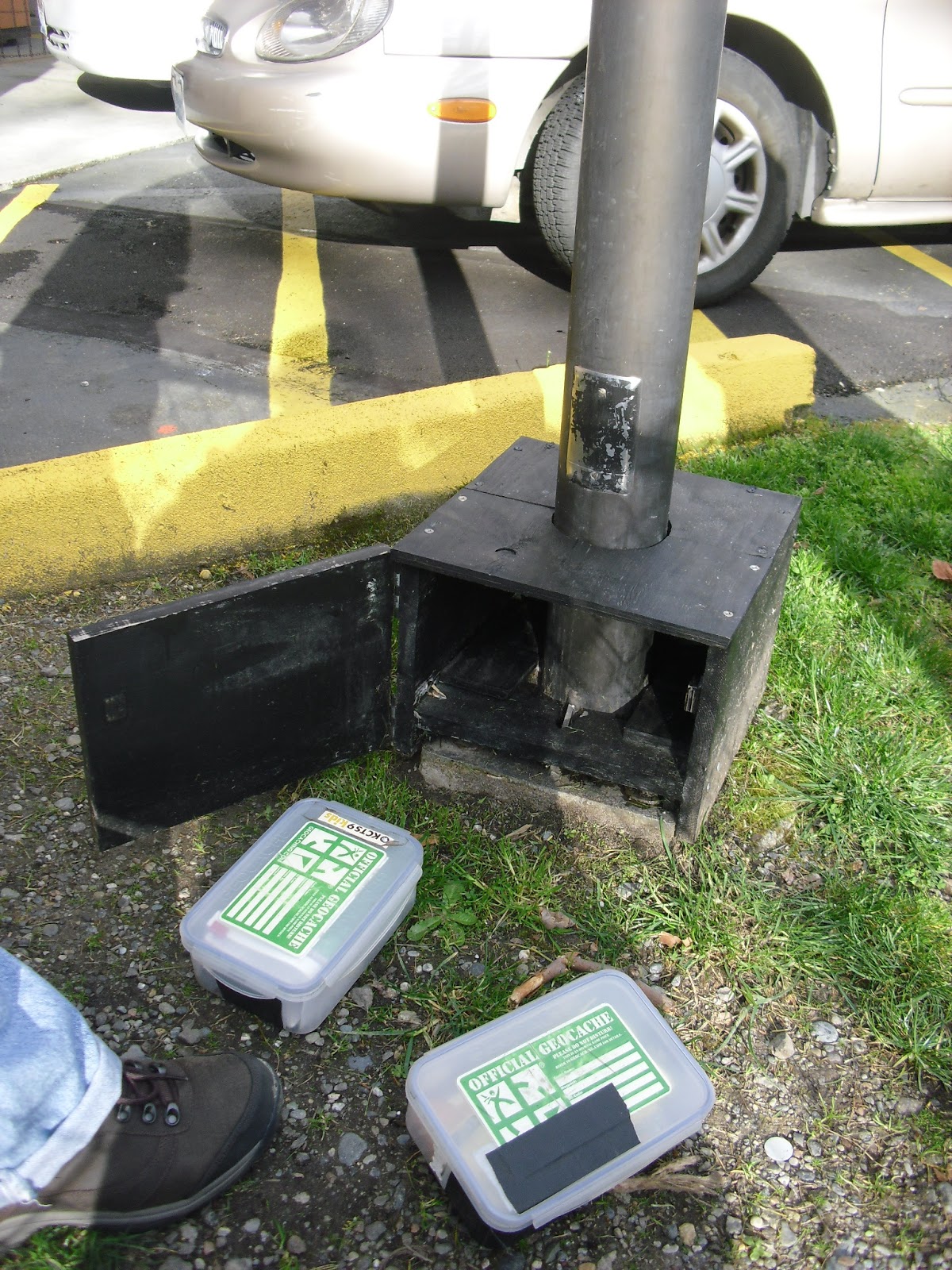
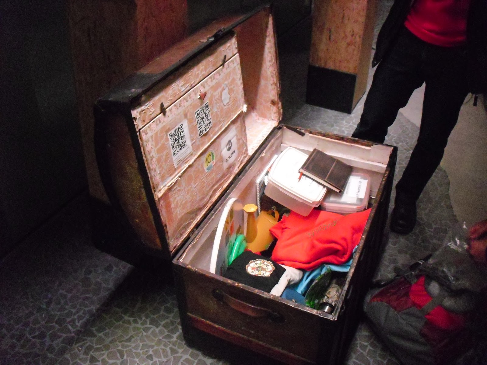
Ann Arbor is nothing new to me, but since I was at the Big House, why not just took another picture of this place again? Besides, Jan and I found a geocache at the Big House.
We did some other things, like finding a place to eat. I went back to No Thai! Now I realized that the food there was quite pricey.
Another main event was to visit someone that meant to me a lot during my undergrad study. I have not seen him for two years. In that evening, I talked to him at Barnes and Noble for more than an hour. I think I should give him my update in life.
I do not have much pictures of UMich in this trip. I just felt that it was unnecessary. Perhaps ten years later, I may come back to take more pictures, but when coming back again after two years, nothing had changed much.
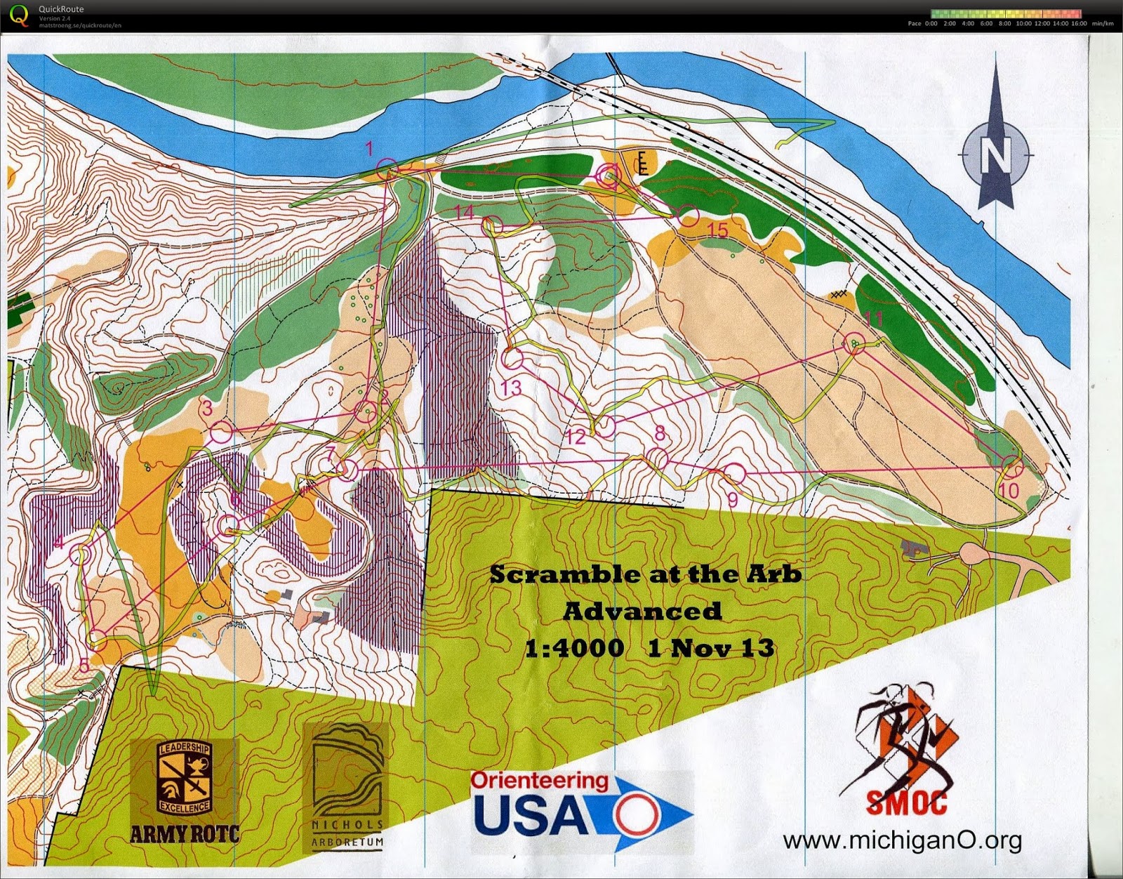
Nov 3 morning: Peach Mountain

This is the map of Peach Mountain. I really enjoyed this place for orienteering. This place is only 15-20 min away from Ann Arbor. This is also a UMich property. I don't think I have been here when I was an undergrad.
This course is significant to me because this course is very nice for orienteering tourism. I bet Jens could set the course harder, but he did not because there were many interesting things in this forest. Still, this place reinforces the notion that doing orienteering in Michigan is challenging.
I will reference the control number of the map above when describing the picture below.

Start point -- Only a few cars could be parked here. There must be some other starting points for formal local orienteering events. Yay! I was back to "Hail to the Victors" land.

Buildings near control #1 -- telescopes!

Another telescope pic

The road that I used to go from control #2 to #3 -- fall leaves made this place pretty.

Control #4 to #5 -- another set of buildings with a dish!
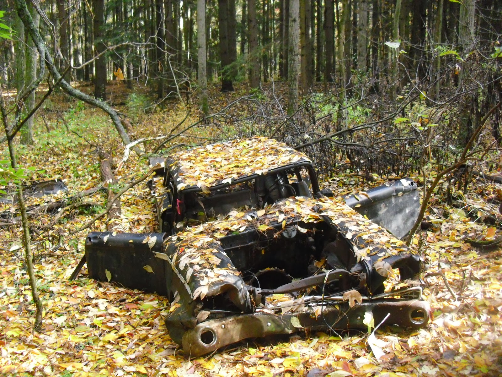
Control #6 -- X= a car. Interesting.

Control #9 to #10 trail. This is the first time for me to use distinctive vegetation boundary to guide my way.
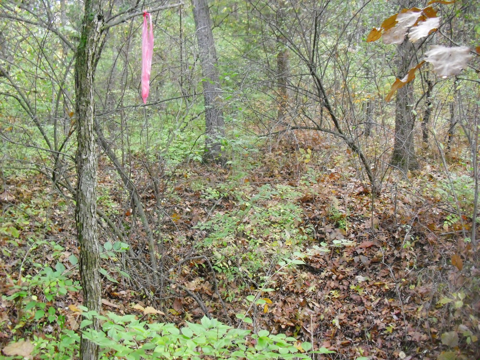
Control #10. This is an example of a streamer. You need to navigate carefully or you will not see it.

That is the big open pit when going from control #11 to #12.

Streamer from control #13. This place did have a wet marsh!

On the way to control # 18. I hope ignoring the sign is okay.

The radio tower near control #18.

Control #19.
Jan said that if I knew about orienteering in Michigan, I will not set an orienteering club in Illinois, since I will find the maps in Illinois very boring.
In the end, Jan took 80 minutes to finish 7.8 km. I took 90 minutes.
Thank you for Jens to set the controls to allow us to see so many nice things in this forest!
Zingerman's Deli
I have never been to this place, but I knew this place is famous. Therefore, I gave a try. I think the food is okay, but the price tag is too high. I wondered how can a burger cost $15 and can be finished in one meal.
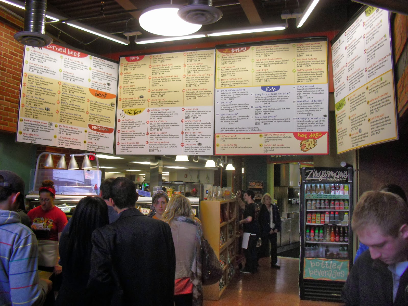


Nevertheless, the burger looks nice. While eating, Jan and I compared the split times at Peach Mountain.
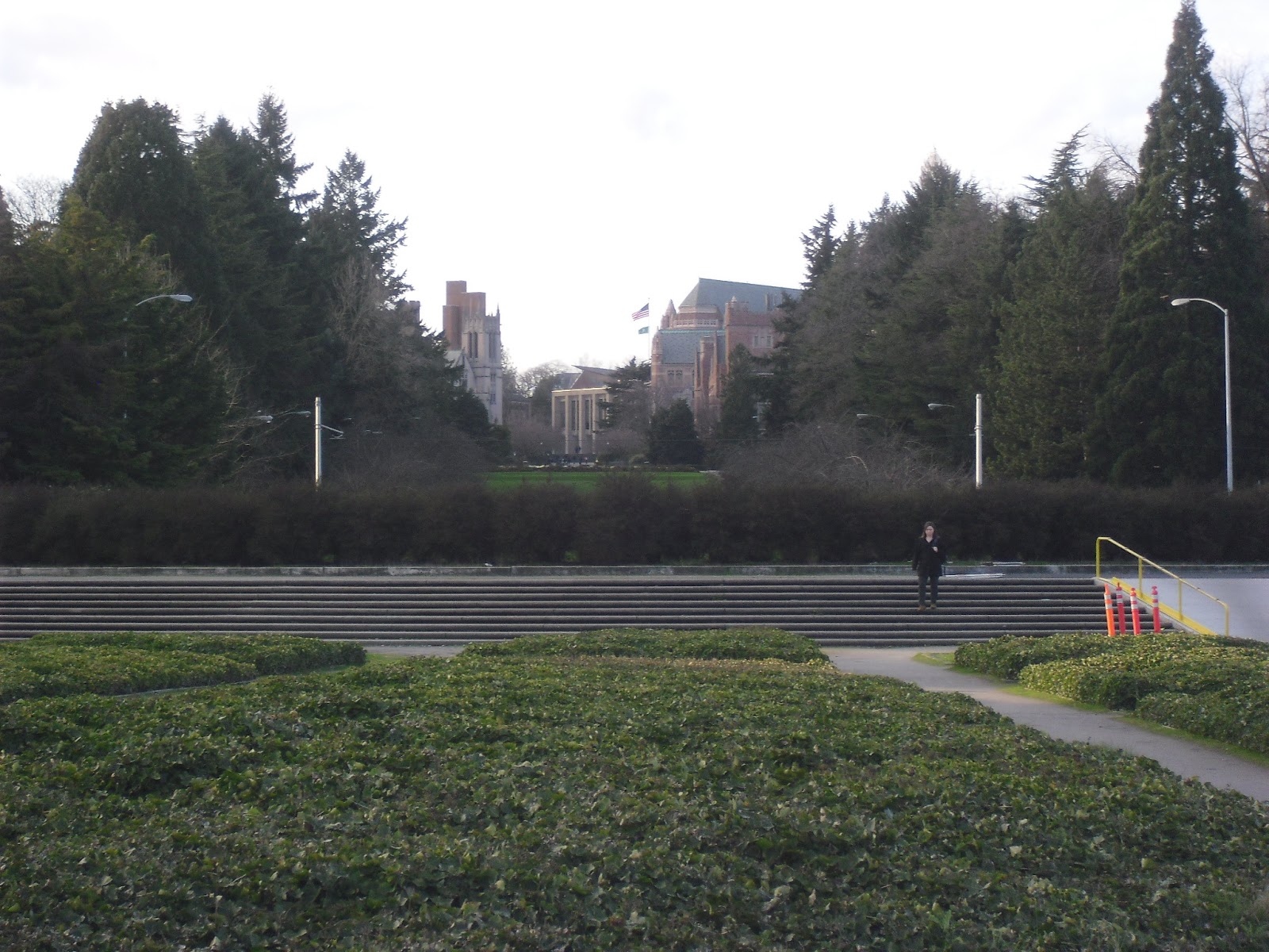
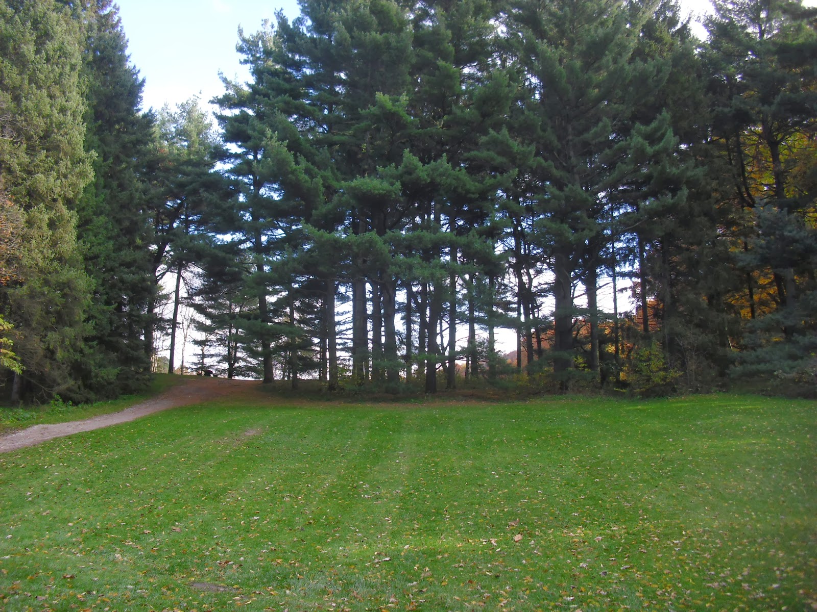
Nov 3 afternoon: Nichols Arboretum
I did not get a chance to run on this map, but Jan and Alex did. I preferred staying with BC, who came to Ann Arbor for orienteering, but got sprained ankle the day before the trip and only visited his friends as a result. The map above is how Jan ran (sort of, I do not know what's wrong with the GPS).
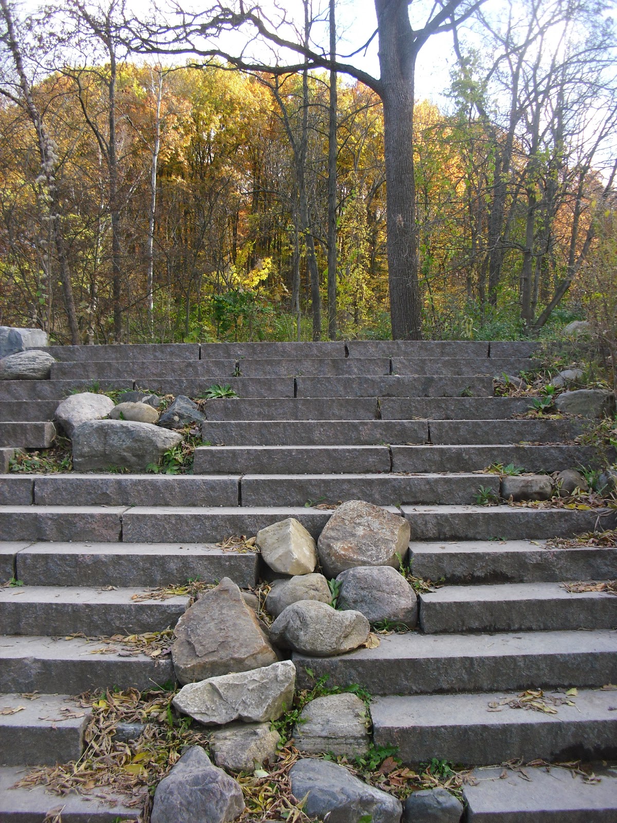

The prairie field on the east side of the map.

I think this is near the location of control #15.
Jan and Alex finished their runs in 30 minutes
Picture taken at the start location.
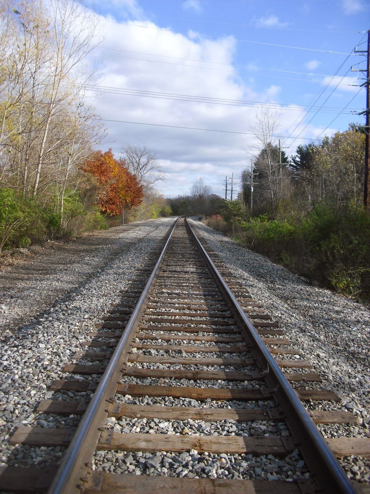
The rail track on the north side of the map. BC liked to take pictures of him on this track.

Hail to the helicopter! This is for the UM hospital.
Acknowledgements
I need to thank Jens again who sets up the Peach Mountain tourist course for us. We had a lot of fun.
Also, I want to thank Ju Shua who gave us a place to stay.
If I forget to say something, I may update the blog later.