Monday, January 5, 2015

Dec 28, 2014 Tai Mo Shan (大帽山) in Hong Kong -- Foggy Orienteering

A. To the Start

Tai Mo Shan (大帽山) is the tallest mountain in Hong Kong, with elevation of 957 m/ 3140 ft. Literally, it means "Big Hat Mountain", but since the pronunciation of 帽 (hat) is similar to 霧 (fog), the mountain is also nicknamed as "Foggy Mountain". In fact, this mountain is frequently foggy at the top.

On Dec 28, 2014, it was a typically foggy day on top of the mountain.

To get to the event center for the Annual Orienteering Championship - Long Distance, I first needed to take MTR (Hong Kong subway) to Tsuen Wan, take the bus route 51 to Tsuen Kam Pass, and hike uphill for another 1 - 2 km. When getting off the bus at Tsuen Kam Pass (elev. 480 m), it was as foggy as this:


A 30-minute hike led to the event center (elev. 640 m):


I was thinking of changing clothes and leaving all the stuff there. However, I did not recognize anybody there, so I decided to carry my stuff to the starting point. I knew that someone that I know stationed at the start. Leaving the stuff with people that I know may be safer. Therefore, I continued to go up. Below is a sign to warn vehicles for orienteering competitors:


I also walked past the finish:


B. On the Course

The start point was at an elevation of ~ 740 m. The time was already 12:15 pm, but it was still foggy.


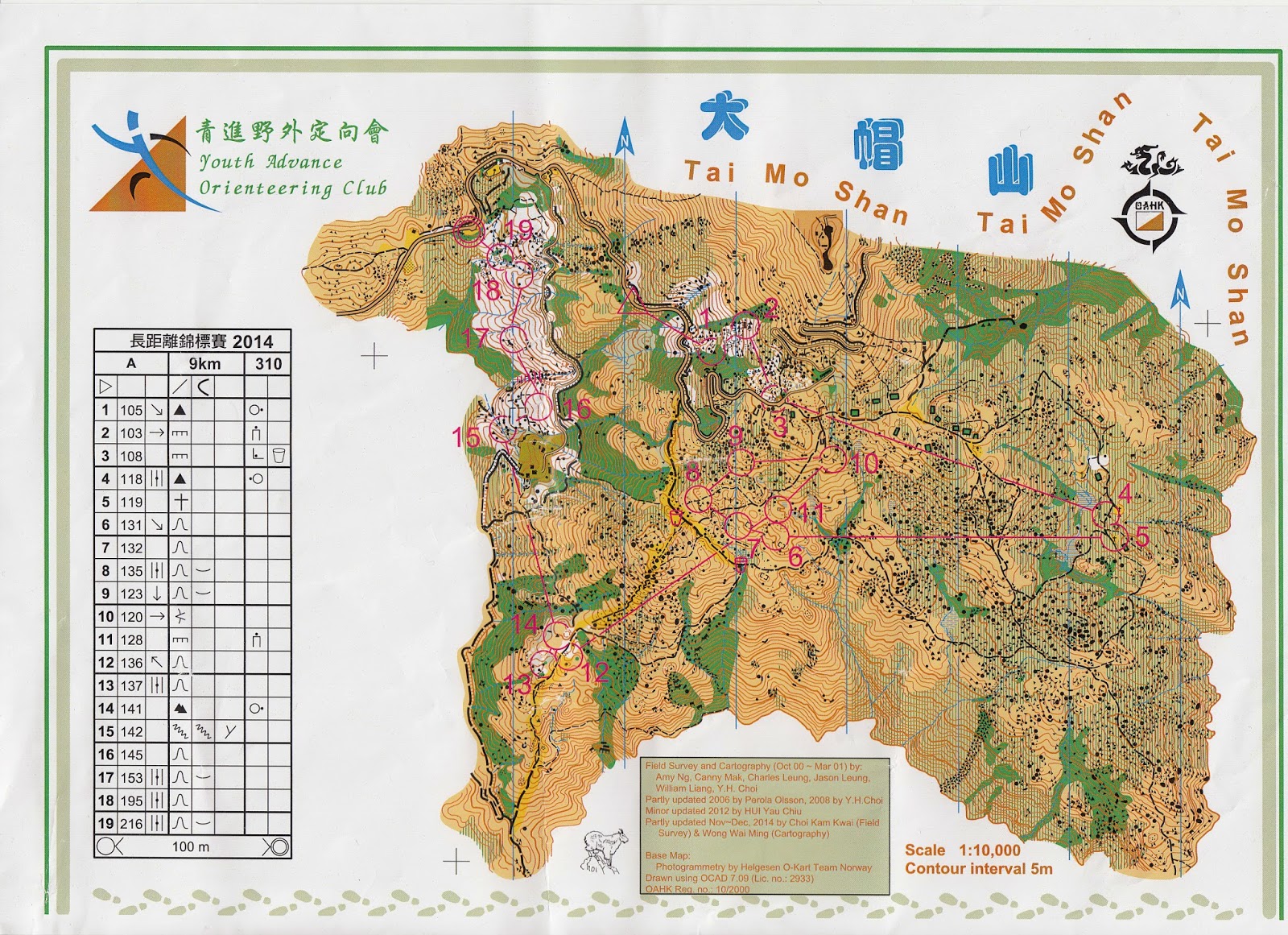
At 12:30 pm, all MO (Men Open) group participants could start. I was given this map:


There are a lot of open areas in the map, but it did not matter. Seeing far was not possible due to the fog.

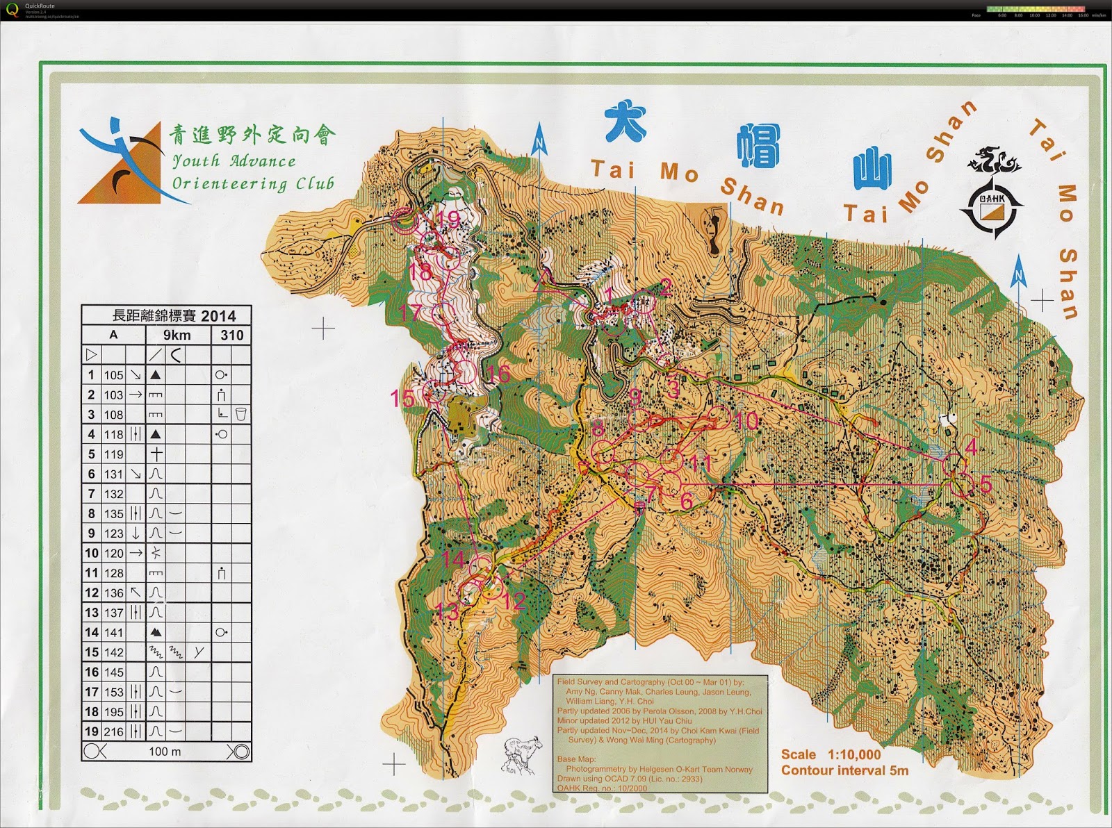
I had the GPS record. Hopefully I can overlay the GPS data on the map after I get the map scanned. Here, I will show some pictures that were taken during the course. Since MO group did not have prizes, I could take the course slowly and take pictures. Still, I realized that I made some not-so-minor mistakes during the course.

This picture was taken on the way to Control #4. It was a long trail run, but there were several path junctions to decide. I was quite concerned in this area, since I could not see the surrounding small hills to identify my location. In the end, I did go to the wrong path. I wished I could use the NE path. In the end, I used the SE path.


Fogs started to clear when I was on the way to Control 6.


This is a picture of Control 11, looking from NE.


This picture shows the cliff near Control 17. The last five controls guided the competitors to navigate through the white woods, which are quite rare in Hong Kong.


After finishing the course and checking the results, the fastest person finished the course in ~1 hr 15 min, but I took 2 hr 7 min. That was too slow. Seeing that I only ran 7.4 km in this course, I think I should be able to finish the course within 2 hours.

It was less foggy when I ran the second half of the course, but the fog gathered again when I was about to leave. Still, it was less foggy than when I came.

Even with the mistakes, I was happy that I could finish an orienteering course at the top of the tallest mountain in Hong Kong.

Appendix: My Mistake List

My GPS record:


Control 2: I did not climb enough to get to the control. However, I also felt that the vegetation within this area was not that accurate. I used the north thicket and went east to navigate, but I saw an unexpected open land, and the cliff with control seemed to be further south.

Control 3: I went too far west on the road. The bends of the road helped me to get re-oriented.

Control 4: I was not aware of an important trail junction, which caused me to use plan B.

Control 6: Same problem as Control 4. I used the east trail to leave Control 5. At the junction, I should go west, but I went south because I did not see the junction.

Control 10: I misjudged my distance. I incorrectly searched for the control not even passing through the undergrowth area.

Control 13: I did not see this control on the map and went to Control 14 first.

Control 18: I should not walk along the contour and climb uphill instead. Perhaps I was too tired to walk uphill?


Sunday, January 4, 2015

Dec 27, 2014 Fu Tei (虎地) in Hong Kong -- An Introduction to Trail Orienteering

A. What is Trail Orienteering (Trail-O)?

The International Orienteering Federation (IOF) has official rules for four types of orienteering, namely foot orienteering (foot-O), ski orienteering (ski-O), mountain bike orienteering (MTBO), and trail orienteering (trail-O). Foot-O is the classic running from controls (checkpoints) to controls, which is the type of orienteering that we do the most often. Ski-O is not for a sub-tropical guy like me. MTBO requires intricate network of bike routes, which can be quite hard to find locally. Yet, trail-O can be friendly in many areas.

Basically, trail-O is a multiple choice test, where all questions are in the following form:

Q: Which of the following flags best describes the circled point on the map and its description?

A: Flag A
B: Flag B
(... and so on, depending on number of flags)
Z: None of the above (Z stands for zero)

If there is one flag, the question boils down to true or false:

A: True
Z: False

There are two types of trail-O: precision-O (pre-O) and temp-O. In this blog, I will cover mostly on pre-O. One main difference of pre-O from foot-O is that walking off-trail is not allowed. Another difference is that the course can be completed in walking pace. Trail-O (pre-O or temp-O) is mostly a mental test. In fact, if the trail is flat and smooth enough, people who has handicap in mobility can participate in trail-O.

Whoever answer the most correct answers wins. If there is a tie, the timed control (TC) is used as a tie breaker. Finishing the course quickly has nothing to do with winning, except TC.

B. Before Starting

It was nice that I could go outdoors on this day, since I just got off from a long flight the day before, and I still needed to adjust the jet lag. Knowing that I did not need to run today, I even wore jeans to this event. After all, this was my first time to participate in trail-O, and I registered the beginner course. Dressing like a beginner should be fine!

The event center looked typical. I had to claim my number tag and a punch card. The punch card is the multiple choice answer sheet.


The following shows how the start area look like. Competitors move forward one space after one minute. In this case, I had to arrive two minutes before my start time.


C. In the Course

I could only read the map after I started. Here is the map (I hope I can scan the map for better quality, but I cannot find a place to do it. I will certainly do it after I return to the U.S.):


Here is the control description:


The map looks very similar to foot-O. The control description looks slightly different. The control number column is replaced by the choices of flags (e.g., Control 10 has 2 flags: A and B). The last column may also show the viewing direction.

Each control has a decision point (DP) that is not marked on the map. Here is an example for Control 9 (picture taken after finishing the course):


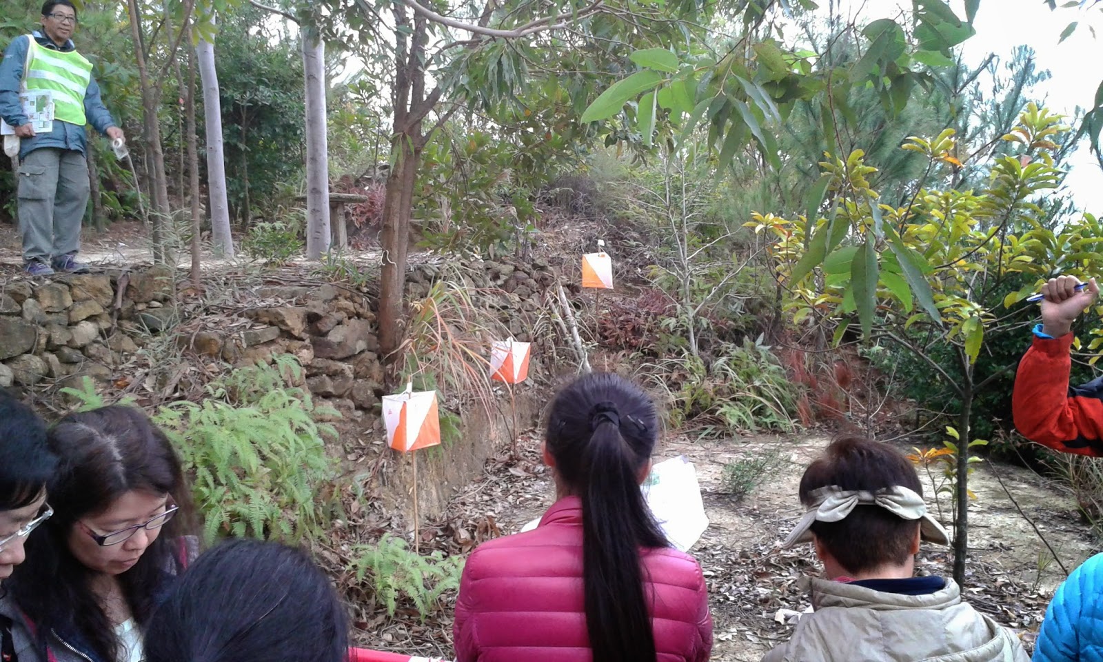
The sign on the right shows the location of DP. DP is only used to view all the candidate controls and decide the flag coding. Flag A is always the first flag from the left, viewed at DP, then Flag B, C, D... can be counted to the right. In this picture, the highest flag is Flag C.

The course also contains out-of-bound areas, usually forbid competitors from getting close to the candidate controls.

So, which of the above flags is correct? A, B, C, or none of the above (Z)? Hint: according to my compass, I was viewing to the south.

To answer the question, you need to read the map and control description. If you do not know the IOF symbols, they translate as "south end of fence" for Control 9. With this, one can easily identify that "C" is the correct answer, since the picture was taken to the south, and Flag C was really at the south end of the fence.

The above control was easy, but there were some harder ones. Let me show another example:

Control 2 (picture taken to the west direction):


Control description translation: west part of cliff.

The DP was only a few steps on the right, so you may treat this picture taken at the DP, i.e., the closest flag is A, and the furthest flag is C.

What is the answer?

This question illustrated the importance of control description. The solution is: A is at the cliff (meaning the center of the cliff); C is at the west end of cliff. The answer is B, which describes the west part of cliff. To do well in this trail-O multiple choice test, knowing the definitions of control descriptions is essential. In fact, after this event, I learned the difference among "part", "side", and "edge".

Here is one more example: Control 11 (picture taken to the south).


You may also treat the picture taken at the DP. Control description: west side of distinct tree.

What is the answer? Both flags had a shrub next to them.

However, do you notice a tall tree left of Flag A? It turns out that trees that are too small are usually not mapped, unless they are very distinct. The mapped tree referred to that tall tree. Therefore, the answer is none of the above (Z).

I only showed examples where answers can be determined at the DP. However, there were questions that required walking past the DP to find the answer. As long as the competitors walk along the trail and avoid out-of-bound areas, they are allowed to walk anywhere to determine the answer. Some flags were even put at a similar feature at a different location to test if the competitors can identify the parallel mistake.

I took the course very slowly. Sometimes I stayed at an area for 4 or 5 minutes to ensure I found enough evidences in supporting my answer. Still, I could finish the course in ~70 minutes. Having 100 minutes as time limit was really a lot.

D. Timed Control (TC)

In Pre-O, the TC is only used as a tie breaker. The TC is not counted into the number of correct answers. The TC is not shown in the map. In this competition, the TC occurred after finishing all the Pre-O controls. The TC is also not counted in the 100 minutes limit.

Before the TC, there was a point where the competitors formed a queue. The first person in the queue was then guided to the TC, with an umbrella to block the view of the controls.


The competitor was then asked to sit down. The event official then explained the rule of TC, "The map has been set to correct orientation. You have 30 seconds to answer the question. Use your finger to point the answer. Oral answer is not accepted." At this moment, the controls could still not be seen.


After understanding the rule, the controls could then be viewed. "From the left, this is A, B, C, and D (with finger pointing)". Officially, the official will say "alpha, bravo, charlie, and delta", but since these words may confuse kids, ABCD were used. Immediately after finger pointing, the official said, "your time starts now", and the map (with the control description) was uncovered.


When I saw the map and look at the center of the circle, I immediately knew the answer, but I still felt that I should check to make sure. I did not have the question map, but the control description is: "South side of SW tree". The above picture was taken to the approximately north direction.

My thinking was: C, D could be immediately eliminated, since they are not on a distinct tree. The center of the circle pointed slightly to the left, indicating the left tree was what I should look for, so the answer should be A. I confidently pointed the answer.

The official said "Your answer is A." The two time keepers read out the stopwatches, both of which were ~ 5 seconds. I wondered if I could still do this faster.

Then, I was directed to submit my Pre-O answer sheet.

E. After the Course

After everybody was returned, there were people leading us to the course again to discuss the answers. Everybody got solution maps for the Pre-O and TC, so they could check the answers. They look like this:


I took the above field pictures during the discussion session.

After returning to the event center, the results were up. I got the first place! I also found that using 5 seconds for the TC was very fast!


Therefore, I got a medal! Besides, all participants got a certificate for completing a trail-O.


F. Final Thoughts

I think I really like trail-O. I know I do not run fast, so as a less active person, trail-O gave me opportunities to do short hike, while also getting difficult puzzles to solve. I wish I can do advanced course next time. Sadly, I will be out of Hong Kong soon, and the area that I live does not have trail-O at all. Should I try to organize trail-O there, even I have limited experience in trail-O?

Saturday, August 2, 2014

2014 California Trip

0.       Introduction

Every year, our research group attends an air-related conference. The location of the conference varies every year. This year, the conference is in Long Beach, CA, which is part of the LA metro. Since I have several friends living in California, I would like to use this opportunity to visit them. As a result, my plan includes staying in LA and Bay Area for a few days each.

I also needed to figure out how to get from LA to Bay area. The initial plan was a road trip with a friend in LA, but since my friend was out of town when I was in LA, I had to go by myself. After some research, I decided to spend a few days in Yosemite National Park. The planning for this trip was both challenging and hopeful, which I will explain later when I talk about the Yosemite trip.

Without further ado, let’s talk about the trip itself.

1.       The conference

On June 23 (Mon), I left Champaign to Chicago by train in the morning and took a plane to LA in the evening. I visited an undergrad friend in Chicago, learning his new apartment in downtown and his startup of a company at home.


At the airport, I found that all of my colleagues bought the same flight and took the same shuttle from LA airport to Long Beach. Once we got to the hotel, it was already 1 am in Pacific Time. I crashed on bed immediately.

The next day was the beginning of the conference. In a nutshell, I did non-academic stuff more than academic. I visited exhibition booths every day for several hours, the longest time that I spent for all the conferences that I attended. In these booths, I either learned about measurement instruments, met someone that I knew, or talked to consulting companies about their nature of jobs. I went more social events than last year, talking not only to students, but also young professionals about their jobs.
Current and previous students of my advisor

Conference location

The iconic Queen Mary

Student/young professional social

I shared a room with another student that attended this conference. He attended this conference for his first time because of a competition, and he asked me the events that will happen in the conference. I gave him several pointers in attending this conference.

Overall, I enjoyed this conference as much as last year. When I attended this conference in my first year, I felt sad probably because I felt stressful and did not know people around except my colleagues. Now, I did know several people outside my groups, and I met them every year. I was also glad to see that the conference had improved their encouragement of participation for new students and young professionals.

2.       Friend visit part 1

The conference ended on Friday. The plan was to spend the weekend to visit friends in LA area. I had two undergrad friends in LA, but one of them just graduated and went for a trip, so I could only visit another friend who had a seven-week old baby. I hoped I did not bother my friend too much, since a baby, while looks cute during the day, can be a huge time-sink for new parents. I appreciated the experience for staying at home all day with the baby. When I was sleeping, I noticed the baby cried at 2 am, 5 am, and 8 am on the first night of my stay, and similar times on the second night. My friend showed me a remote device that links to a webcam that watches the baby. Because of cleaning the baby, I helped my friend to cook some scrambled eggs for breakfast. Moreover, the baby has to be watched all day. We watched World Cup together with the baby, at home and at a bar.
Baby cleaning

Watching World Cup

I was with the baby also!

Besides the baby, I learned about my friend’s job and life situation, his apartment garden with automatic irrigation system, and the board game Carcassonne.

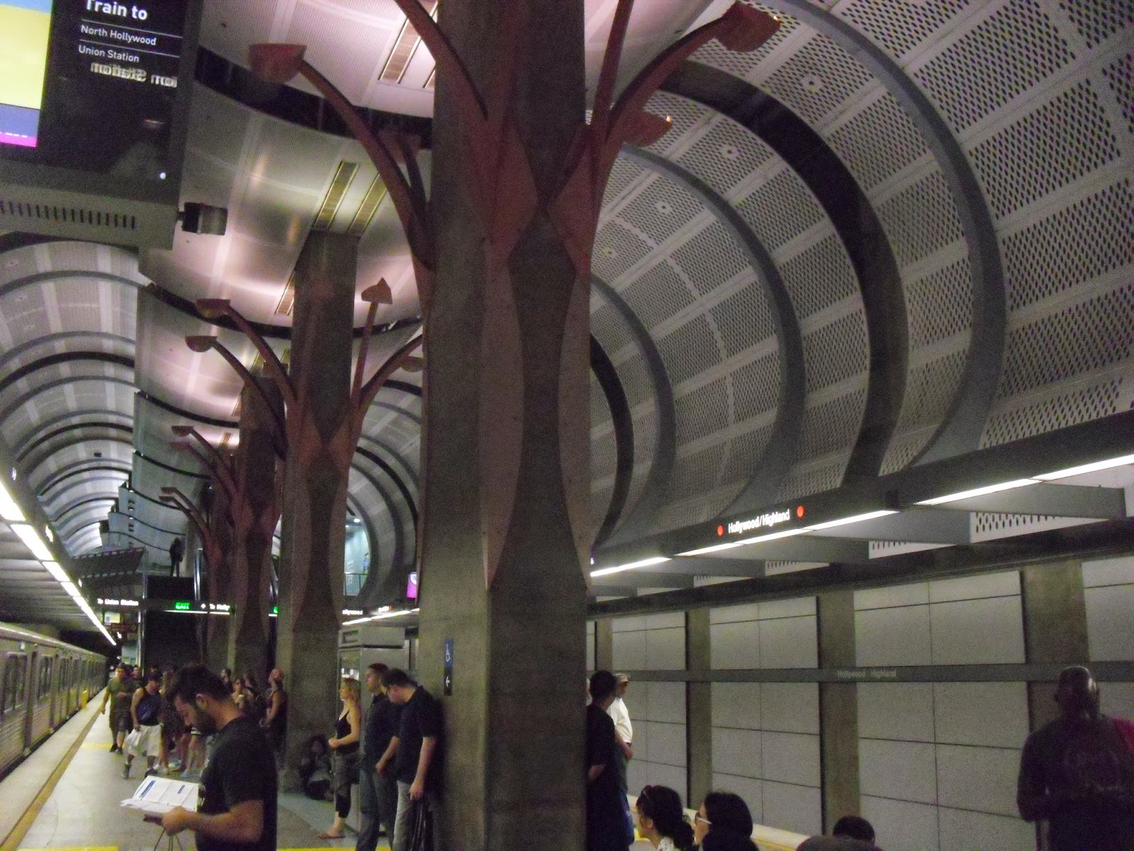
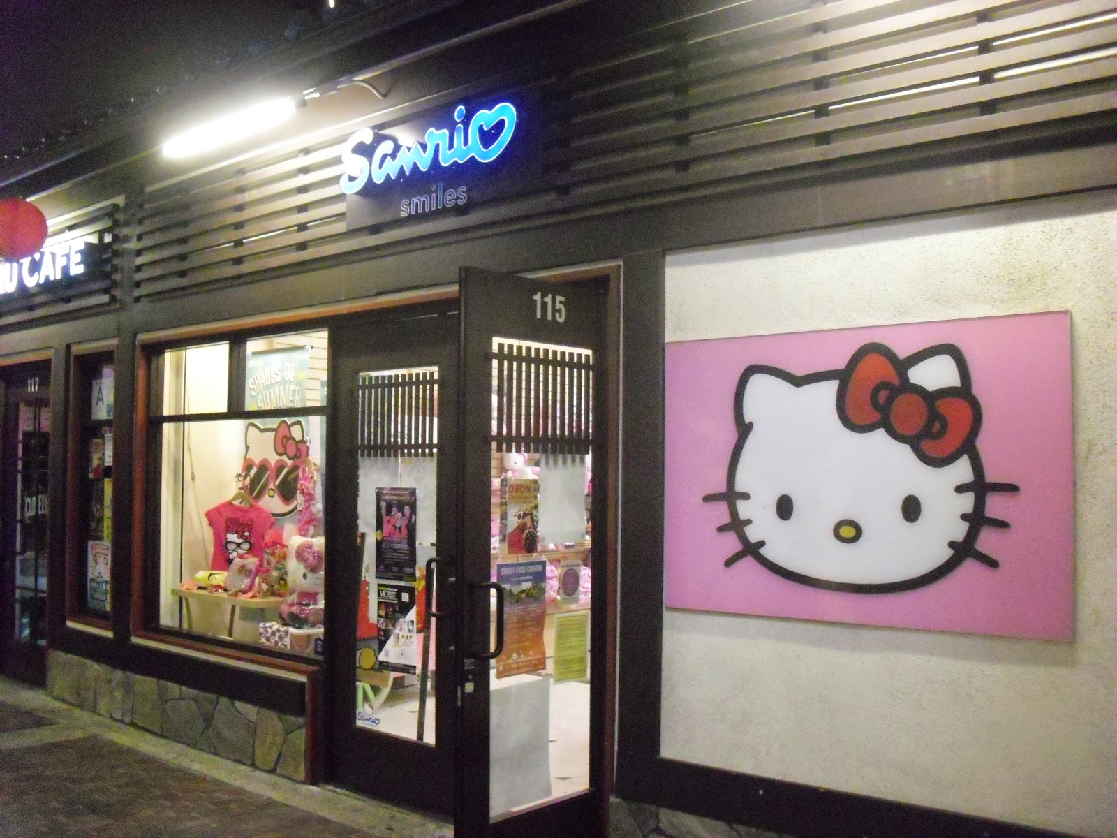
On Sunday afternoon, he drove me to LA Union Station and bid farewell there. I spent the rest of the day in downtown LA and Hollywood to wait for a late night bus leaving LA. In LA downtown, I went to an area called Little Tokyo. When I was in this area, I found a vague nostalgic feeling. I thought I had been here before on my very first few days in the U.S., which was almost 12 years ago when I participated a high school exchange program. I was not sure, since I did not have pictorial records and it was a long time ago. Therefore, I took a few pictures of this area.
Farewell at LA Union Station

LA subway

Hello Kitty at Little Tokyo

At 1:45 am on Monday, I boarded a bus leaving LA to Bakersfield.

3.       Yosemite National Park

This is a trip that I was surprised that I could plan for going by myself, and there was no need to drive. Yet, it was a bit challenging for me to plan because I planned this trip 3 months ago. Later I realized that this is considered late planning.

There is a surprise because public transport is available and inexpensive. I can use Amtrak to go from Bakersfield to Merced (~2.5 hours). Then, I can use Yosemite Area Regional Transit (YART) to travel to Yosemite (~2 hours). The bus fee is ~$25 round trip, and it includes the national park entrance fee.

There are challenges because finding inexpensive lodging takes time. There are campsites in Yosemite, but they are filled up when I tried to book 3 months ago. There are also some hostels and hotels outside the park, which are along the YART route. However, many of those also filled up early. I actually felt lucky when I found a spot in a hostel that costs ~$30/night, so I took it immediately.
This is the hostel that I stayed - Yosemite Bug Hostel

On the actual trip, I slept a little in the train and the bus. When I got to Yosemite Valley, it was already noon. There are free shuttle buses within Yosemite that operate frequently. Although the first-time visitor would like to stop at Yosemite Visitor Center, I would recommend the stop at Curry Village. You can obtain visitor information at this place. There are also supermarket and restaurants. What Curry Village has and Yosemite Visitor Center does not is free wifi nearby, and there is free luggage storage. It was convenient for me to leave my luggage and then hike.
Front Office at Curry Village

I stayed here for four days, with the first and last day shorter hikes. The most memorable hike is on the second day, when I hike for >1,200 m climb to the Half Dome. The very last 300 m climb requires a permit that can only be obtained through lottery. Lottery happens either on March, or two days before the scheduled trip. There is approximately 50% success rate in weekdays and 33% success rate in weekends. This hike took me the full day. I woke up at 5 am and got back to the hostel at 9 pm for this hike. This hike brought me to two waterfalls, which has a total of ~ 500 - 600 m climbs. Then, there was a stretch of flat land hiking before more uphill hiking. The last 300 m climb is steep. The first 150 m is steep upstairs. The last 150 m is an almost vertical wall, with cable rails and wood pieces on ground to help people to climb. That is the most exciting (and even emotional) part of the hike.
Nevada Fall

The last ~150 m ascent of Half Dome

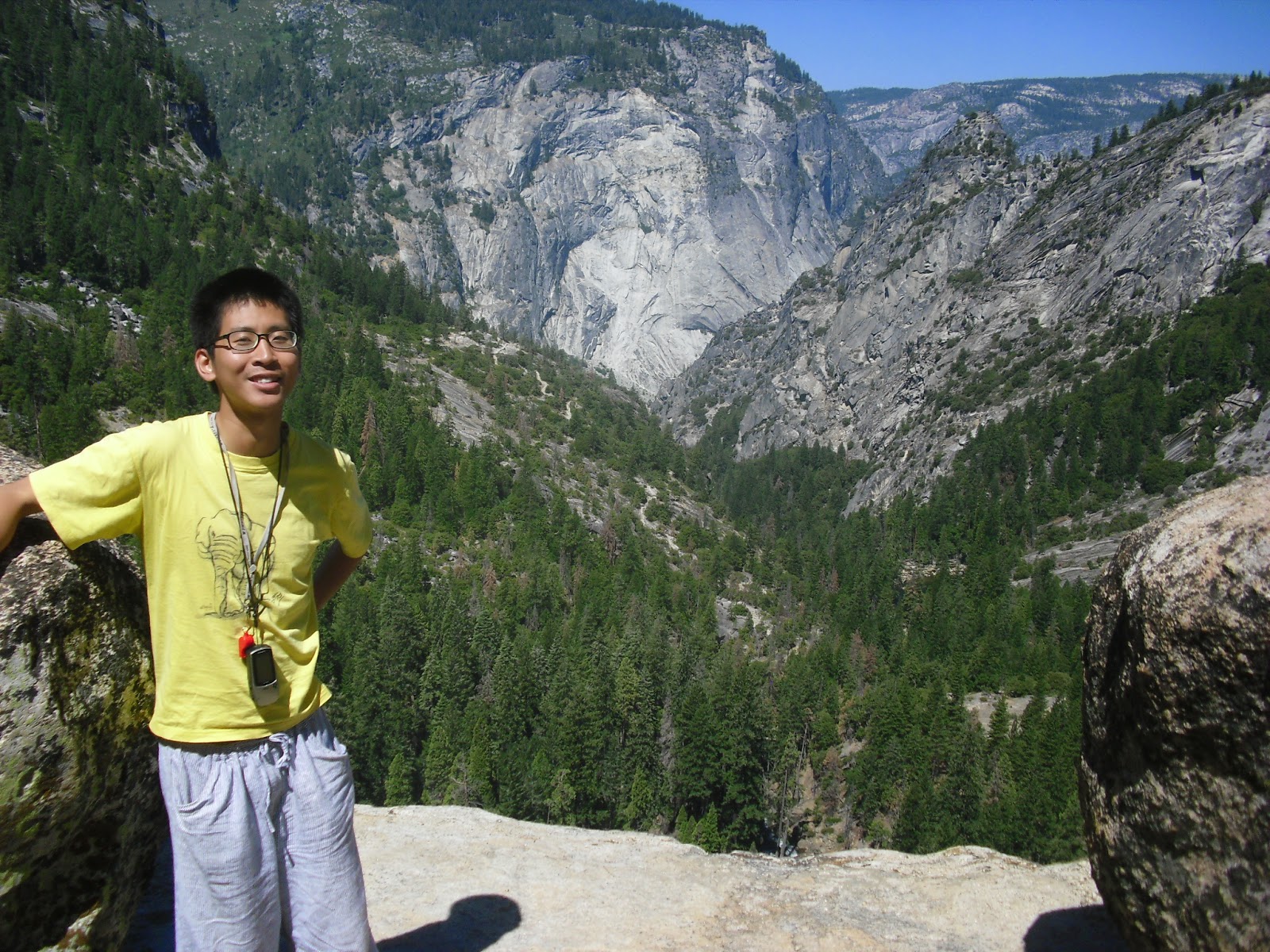
I hiked for so long partly because I took many pictures. There are also random people that ask me to take pictures. At one point at the top of a waterfall, a guy from New Zealand took a picture with me. At the top of the Half Dome, I also asked someone to take a picture. It turned out that I met them again on the next day!
At the top of Nevada Fall

At the top of Half Dome

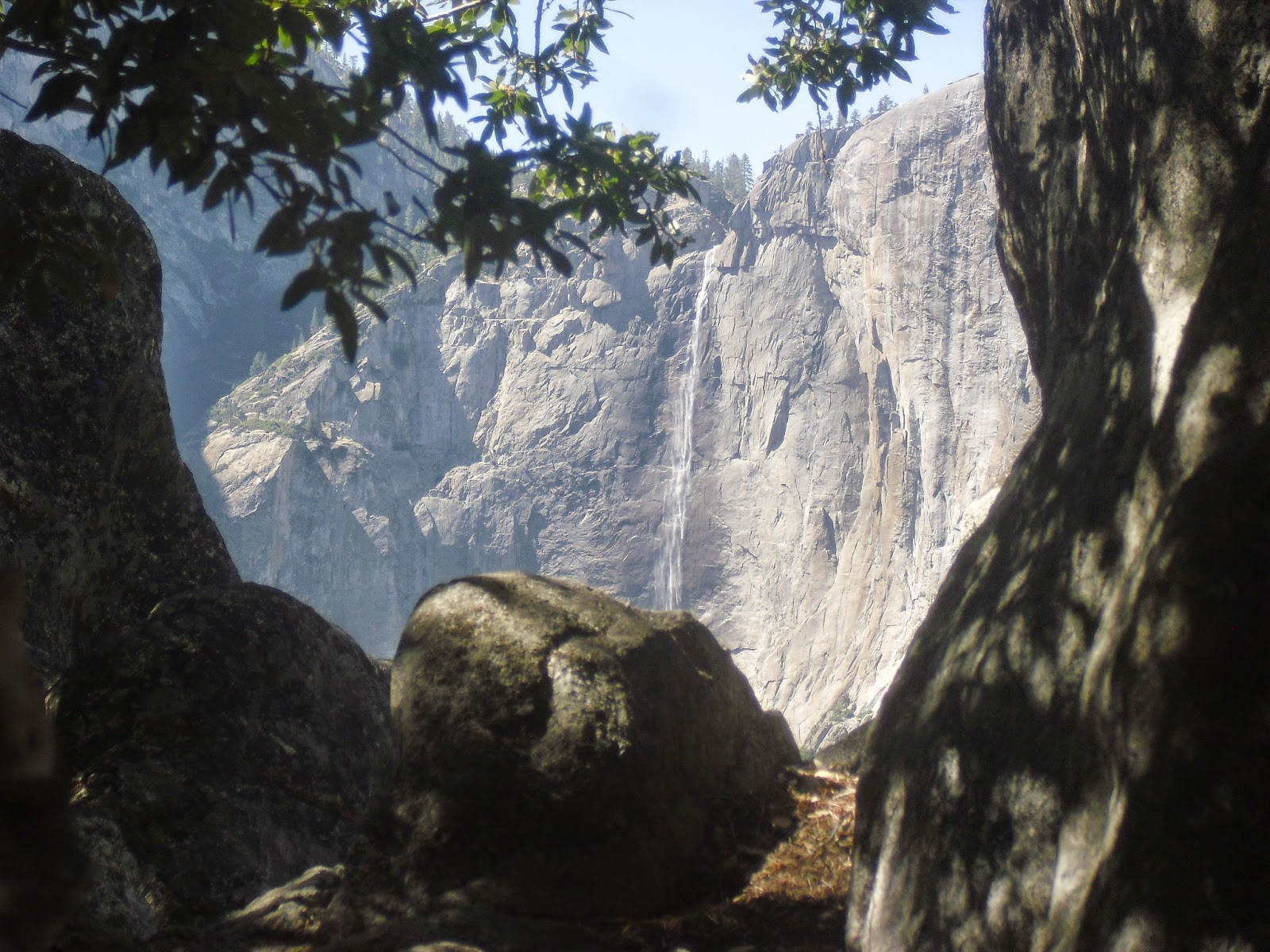
On the third day, I went to the Glacier Point, another high point of the Yosemite. This time I took a bus to the top and hiked back down to the bottom. To take this bus, I needed to buy a ticket for $25 at Yosemite Lodge. I was lucky to get the last bus ticket to the top. If you cannot climb 900 m up and down within a day, going to Glacier Point by bus is still a good idea because of the view. There is also a short 2-mile hike to the top of Sentinel Dome, where you can view all of the famous features in the Yosemite Valley, including Half Dome, Yosemite Falls (the tallest waterfall in North America), and El Capitan (the tallest piece of stone in the world). I used the four-mile trail to go from Glacier Point back down to the valley floor, which took me 2.5 hours. You can still get beautiful view of the Yosemite Valley on most part of the trail.
On the east - Half Dome

On the west - El Capitan (on the right)

On the north - Upper Yosemite Fall

To summarize, Yosemite is a delight for hikers. Moreover, public transport is convenient, and driving into the park is not necessary.

4.       Friend visit part 2

I took bus-train-bus to San Jose. There are many people that I would like to visit here. I know most of them from my undergrad, and they are from Hong Kong. All of them did not change much, even though some of them got married. Those who like to play video games still play video games, including one of the married people. My friends also tend to wake up late. Therefore, during one of my days in Bay Area, I went to Stanford by myself and watched some World Cup there. We met several times for meals.
Reunion in a Thai restaurant in Mountain View, CA

On 4th of July, another group of friends asked me to watch firework together at Google campus. I had a chance to walk around Google. In fact, I have visited the Google campus twice in this trip. In the later part of the trip, I also had a chance to look at Apple campus, and learned that a second Apple campus is building.
Reunion in Google

Apple address

Asking my Hong Kong friends on whether they will go back home, their replies seem like they have no choice but to continue to stay in Bay Area. After all, life in Bay Area is better than in Hong Kong, isn’t it? During this trip, their conversations were just like what we talked during undergrad.


I left from San Francisco Airport on July 6 (Sun) late in the evening, and got back home on July 7 (Mon) noon.
SFO Airport