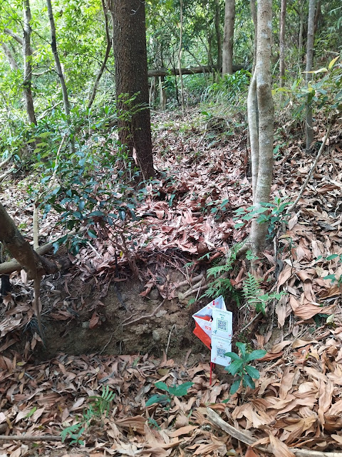
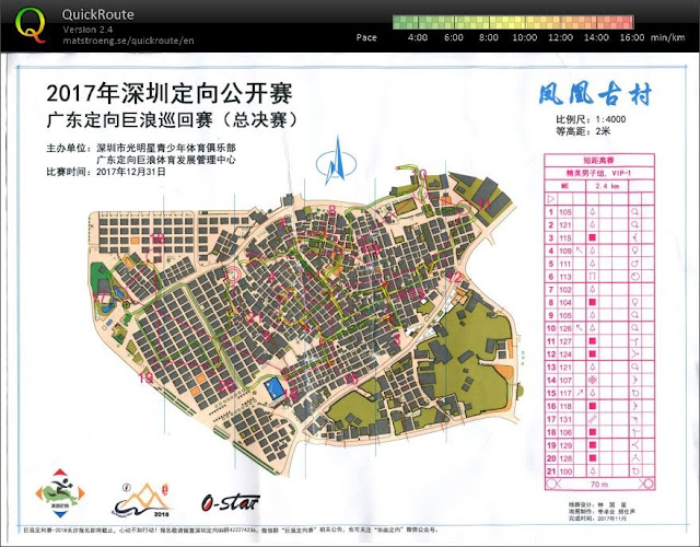
聽過沿徑定向前輩講過,精確賽(Pre-O)有如徒步定向的長距離(Long/Classic),而速決賽(Temp-O)有如徒步定向的短距離(Sprint)。近年沿徑定向多了一個新的非正式比賽類別--Pre-O Sprint,雖然未正式可以做世界排位的比賽,但未來會計劃納入正式的沿徑定向比賽。此項其實會似徒步定向的中距離(Middle)。
Orienting Myself in a Quick-Quick-Slow Pace
A very typical blog about orienteering, travelling, and dancing.
Monday, October 28, 2024
沿徑定向精速賽(暫譯, Pre-O Sprint)簡介
Sunday, June 6, 2021
用手機玩定向的實驗
自從疫情使人群聚集變得困難,大部分定向比賽都暫停了。雖然正規定向運動多數是個人的比賽,在比賽期間人群聚集的機會較低,但報到拿物資仍然要人群聚集。其中的物資就是電子打卡器,初玩的通常要向大會借,方可在各控制點打點。
正因疫情期間借不到電子打卡器,某些定向組織就試用電話打卡的方法。以下介紹其中兩套系統︰
方法一︰iOrienteering
這其實只是把電話變成電子指卡︰控制點旁由打卡器變成QR Code。打卡用電話掃一掃QR Code就可以了。
方法二︰MapRunner
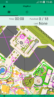
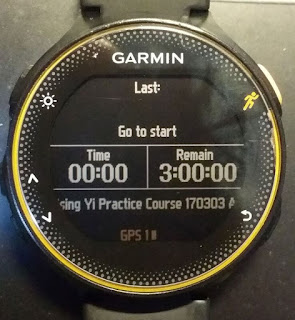
這個無需一定要把控制點旗放在控制點上。玩家只需用電話或GPS手表的定位系統,便可記錄路線和有否去過控制點的座標。
用這個系統的好處是無需一定要放控制點,搞手即使得不到放控制點的允許,都可以打到卡。
問題是︰定位系統的準確度受到樹木、有蓋建築林和附近高樓的影響。
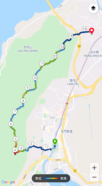
以下是我手機和GPS手錶在林中的記錄。由於當時手錶和手機都在差不多同一位置,所以理應影示同樣路線。不過,實際上會有少許偏差。
中長距離賽程試驗︰手機(WPh) VS GPS手錶 (Wwa)
Sunday, December 6, 2020
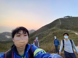
遠足行程記錄︰杯靈雙渡
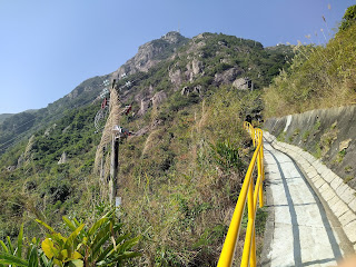
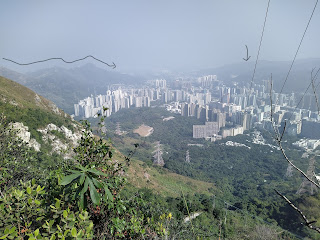
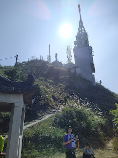
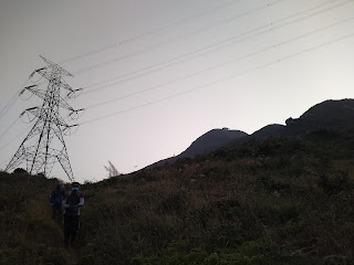
返來香港先知道有人非正式地定了四條香港遠足考牌路線,因為其難度高。今日走了其中一條叫「杯靈雙渡」,因為要上杯渡寺(現名青山寺)上面的杯渡山(現名青山)和靈渡寺上的靈渡山(現名圓頭山)。路線名稱很想使人靜修一下。不過,路線可能要人經歷九九八十一個苦,因為這是一條有大上大落,和有很多地滑的劣地之路線。上落山都要慢而小心。
本來幾個星期前想和一班人走,可惜當天之前一晚突然要開夜。今星期趁所有活動又再延期,限聚令又收緊的時候,以遵從限聚令的原則,找到一對對人一齊走這條「杯靈雙渡」。結果,差點兒要考慮放棄,因為前幾日工作有點不舒服。不過,每次睡過覺後,又覺得好了一些。所以,今日最終決定去走了,心想可能近來工作沒有甚麼勞動,可能遠足勞動一下會令我好一點。
所以,今日連我有兩對人分開走了「杯靈雙渡」了。
1. 上青山
提醒了大家要買夠水和食物後,開始起行。先經過天后古廟附近的公廁去一去廁所,然後就起行了。

2. 落良景坳
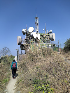
我們其實走得很施施然。上山一會便休息一下,好似仲被別人笑。上頂繼續慢慢走,見到很多發射站。
3.上乾山
為了完成使命,我們接受阿健的意見,繼續注意時間地走上去。接著就是有多個又上又落的山,某些山的上落坡都很斜。第一個要上的是乾山(395m)。
上到頂時,有人提我要查一查急救牌可否領取沒有,因為那人和我拍檔考試,看著他包紮,以為他只有小問題而不致不合格,怎知道就是我所說的小問題而可能令他不合格。可能那時的主考官比較嚴吧。第一時間打個電話問,結果星期六太晚,叫我下星期一再問。
(關於為什麼要考急救牌,遲些當時間對的時候會寫)
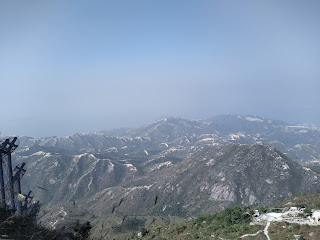
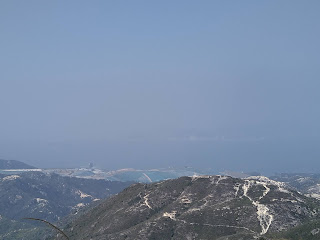
下山時,左面見到往深圳灣的橋。
6. 落圓頭山
走完全程之後,不但全程沒有覺得不舒服。精神更是好了。果然我需要的是勞動。
Saturday, November 9, 2019
Sprint Orienteering Maps -- Concerning Narrow Pathways Between Buildings
| Orienteering World Cup 2019 in China -- Sprint Map. Many places have pathways less than 0.4mm on map, shown through the white circles (Source: Facebook Group - Orienteering Mappers Int.) |
So, what if there exists pathways that are less than 1.6 m wide in actual world? One possible solution is to exaggerate the width of these pathways to 0.4 mm on map. The figure below shows pathways that are about 0.3 m to 0.6 m wide, which is difficult to run through. Yet, if these very narrow pathways are enlarged, should other wider pathways be enlarged, too? Sometimes, the width of the pathways gives hints on where one runner is. Moreover, these very narrow pathways may not be a good route choice because competitors cannot run inside.
| Source: Facebook Group - Orienteering Mappers Int. |
| Source: Facebook Group - Orienteering Mappers Int. |
In that post, some comments that these kind of special terrain should not avoided in orienteering events, which I do not think it is helpful. IOF decided to put a world-level orienteering event in China because IOF wants to spread out orienteering to the world, and not just European countries. The international mapping standard should be applicable to everywhere in the world, so that the sport of orienteering can be promoted. Chinese villages have many narrow pathways that are below the mapping standard distance, but are easy to run. These kind of villages can give a lot of technical challenges to the orienteering competitors. Avoiding these places for organizing orienteering seems to limit the possible terrains for orienteering.
Sunday, June 23, 2019
2019-06-22 Sprint Orienteering in Shenzhen suburb -- Xin Qiao Village (新橋村)
| The surrounding areas at the start hinted that today's sprint orienteering course will be in a village terrain, which can be a lot of fun in terms of navigational challenges when running with speed. |
Field conditions:
To tackle this kind of courses with speed, it is important to apply several orienteering techniques, so that I can simplify the map, and run fast and locate myself accurately:
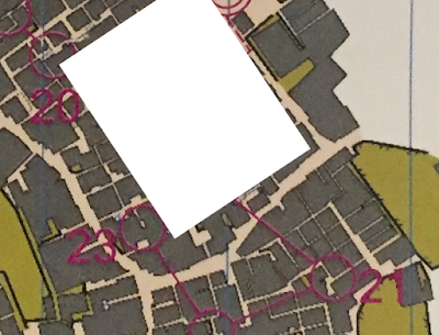 |
| I don't quite care what is inside in the white area. I do need to know where I am when I get to the main road |
